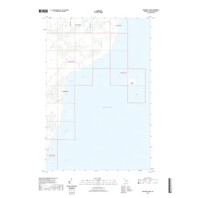
2019 Map of Traverse Island
USGS Topo · Published 2019About this map
Rabbit Bay sits along the eastern shore of the Keweenaw Peninsula, where small drainages like Lathi Cr and Le Chance Cr meet the expanse of Lake Superior. This 2019 survey documents the transition from the wooded wetlands surrounding Mud Lake to the rocky shoreline and the solitary landform of Traverse Island in the open water. The interior landscape is defined by its hydrology, with Mud Lake Cr winding through marshlands toward the coast. Local access is maintained through a network of rural routes, including Beaver Dam Rd, Keweenaw Pass Rd, and Rabbit Bay Rd. Further south, the map reaches toward the northern reaches of Keweenaw Bay, illustrating the quiet, coastal character of Houghton County in the early 21st century.
Find a feature on this map
18 named features on this map. Tap any name to fly to it.
Don’t see what you’re looking for? This feature index may not catch every label — zoom into the map to look around manually.
Map Details
Editions of this 2019 Traverse Island Map
This is the sole edition of this map. No revisions or reprints were ever made.
Other maps of this area

1938 · Gay
USGS Topo · 1:31,680

1946 · Laurium
USGS Topo · 1:24,000

1948 · Laurium
USGS Topo · 1:24,000

1954 · Traverse Island
USGS Topo · 1:24,000
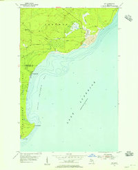
1954 · Gay
USGS Topo · 1:24,000
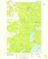
1954 · Rice Lake
USGS Topo · 1:24,000

1954 · Skanee
USGS Topo · 1:62,500

1954 · Keweenaw Bay
USGS Topo · 1:62,500

1954 · Point Mills
USGS Topo · 1:24,000

1958 · Hancock
USGS Topo · 1:250,000