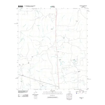
2010 Map of Trawick
USGS Topo · Published 2010About this map
The community of Caro and the gas fields of Trawick anchor this landscape in Nacogdoches County, where small family-settlement patterns and agricultural legacies are evident through numerous small burial grounds and water features. The terrain is a complex network of tributaries, including Beech Creek and East Fork Bayou Loco, which define the local topography. Significant local landmarks like the Trawick (Gas Field) and various impoundments such as Jackson Lake and Caro Pine Lake illustrate the area's development around resource extraction and water management. For genealogists, the map is particularly useful for locating family-named sites such as Helpenstell Cemetery, Clifton Cemetery, and Barnes Cemetery, which often mark the centers of early Texas farmsteads. The settlement at Linn Flat and nearby Linn Flat Cemetery further document the historic communities that once thrived along the county's creek systems.
Find a feature on this map
49 named features on this map. Tap any name to fly to it.
Don’t see what you’re looking for? This feature index may not catch every label — zoom into the map to look around manually.
Map Details
Editions of this 2010 Trawick Map
This is the sole edition of this map. No revisions or reprints were ever made.
Other maps of this area

1943 · Cushing
USGS Topo · 1:62,500

1945 · Cushing
USGS Topo · 1:62,500

1952 · Douglass
USGS Topo · 1:62,500

1952 · Nacogdoches
USGS Topo · 1:62,500

1953 · Palestine
USGS Topo · 1:250,000

1957 · Palestine
USGS Topo · 1:250,000

1960 · Mount Enterprise
USGS Topo · 1:62,500

1973 · Cushing
USGS Topo · 1:24,000
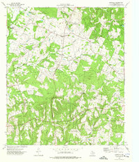
1973 · Laneville
USGS Topo · 1:24,000
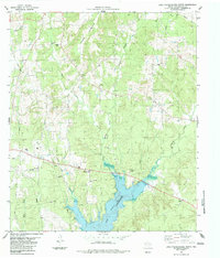
1983 · Lake Nacogdoches North
USGS Topo · 1:24,000