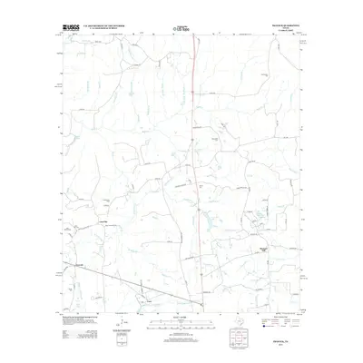
2013 Map of Trawick
USGS Topo · Published 2013About this map
The Trawick Gas Field and a dense network of creek branches define this portion of Nacogdoches County. Small settlements such as Linn Flat, Trawick, and Caro serve as local anchors, connected by a web of county roads and farm-to-market routes like FM-1087. The landscape is heavily dissected by waterways including Beech Cr, Red Clifton Br, and Terrapin Br, many of which feed into larger bodies such as Caro Pine Lake. For genealogists, the map is particularly useful for its documentation of numerous rural burial sites, ranging from the Old Prospect Cem in the north to the Barnes Cem near Middle Fork Bayou Loco in the south. The distribution of these cemeteries alongside family-named landmarks like Ike Owens Br and Boyle Br reflects the deep-rooted agricultural and extractive history of East Texas.
Find a feature on this map
100 named features on this map. Tap any name to fly to it.
Don’t see what you’re looking for? This feature index may not catch every label — zoom into the map to look around manually.
Map Details
Editions of this 2013 Trawick Map
This is the sole edition of this map. No revisions or reprints were ever made.
Other maps of this area

1943 · Cushing
USGS Topo · 1:62,500

1945 · Cushing
USGS Topo · 1:62,500

1952 · Douglass
USGS Topo · 1:62,500

1952 · Nacogdoches
USGS Topo · 1:62,500

1953 · Palestine
USGS Topo · 1:250,000

1957 · Palestine
USGS Topo · 1:250,000

1960 · Mount Enterprise
USGS Topo · 1:62,500

1973 · Cushing
USGS Topo · 1:24,000
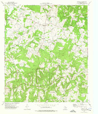
1973 · Laneville
USGS Topo · 1:24,000
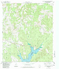
1983 · Lake Nacogdoches North
USGS Topo · 1:24,000