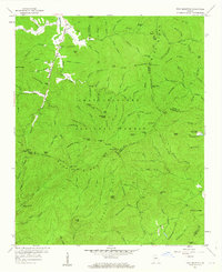
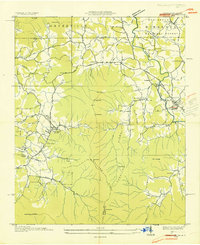
1957 Map of Tray Mountain
USGS Topo · Published 1964About this map
Mountain Scene and Burton No 2 mark the early settlement patterns of this mountain region, where the Hiwassee River begins its course. This 1957 field-checked study shows the rugged geography of the Chattahoochee National Forest defined by the Blue Ridge and the Tennessee Valley Divide. Transportation history is evident in the inclusion of the England Turnpike and Unicoi Turnpike, which followed traditional gaps such as Unicoi Gap to cross the high ridges. The map tracks the Appalachian Trail as it winds over peaks like Tray Mountain and through high-elevation points such as White Oak Stamp and Dismal Mountain. Notable social landmarks of the era include the High Valley Boys Club, while numerous family-named branches like England Br and Wimpy Br suggest the long-standing genealogical ties to these steep coves and narrow valleys.
Find a feature on this map
126 named features on this map. Tap any name to fly to it.
Don’t see what you’re looking for? This feature index may not catch every label — zoom into the map to look around manually.
Map Details
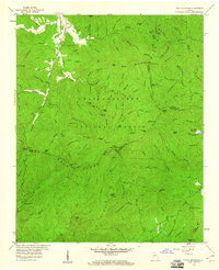
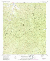
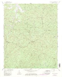
Editions of this 1957 Tray Mountain Map
4 editions found
Other maps of this area

1886 · Dahlonega
USGS Topo · 1:125,000

1892 · Dahlonega
USGS Topo · 1:125,000

1896 · Dahlonega
USGS Topo · 1:125,000

1903 · Dahlonega
USGS Topo · 1:125,000

1935 · Osborn
USGS Topo · 1:24,000

1935 · Cowrock
USGS Topo · 1:24,000

1935 · Hightower Bald
USGS Topo · 1:24,000

1935 · Tray Mountain
USGS Topo · 1:24,000

1935 · Jacks Gap
USGS Topo · 1:24,000
1935 · Hiawassee
USGS Topo · 1:24,000