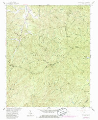
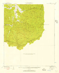
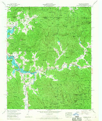
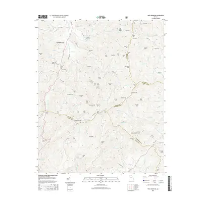
1957 Map of Tray Mountain
USGS Topo · Published 1986About this map
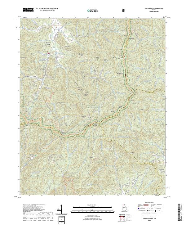
The Chattahoochee National Forest dominates this high-altitude terrain, where the Appalachian Trail traces the ridgeline near Tray Mountain. This 1957 survey, updated with 1980s data, documents the complex watershed of the Hiwassee River and the Tennessee Valley Divide. In the northern reaches, the small settlement at Mountain Scene is situated near England Mill Creek, while higher elevations are marked by traditional landmarks like Stillhouse Gap and White Oak Stamp. The map reveals a landscape defined by sharp ridges and deep coves, such as Hickory Flat Cove and Owl Hollow. To the east, the High Valley Boys Club appears near the Rabun and Habersham County lines, providing a record of mid-century land use within the Georgia mountains before further modern development.
Find a feature on this map
121 named features on this map. Tap any name to fly to it.
Don’t see what you’re looking for? This feature index may not catch every label — zoom into the map to look around manually.
Map Details
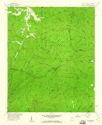
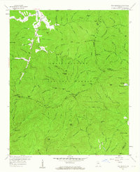
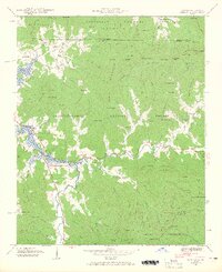
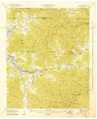
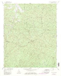
Editions of this 1957 Tray Mountain Map
4 editions found
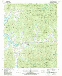
Historical Maps of Mountain Scene Through Time
18 maps found

1935 Osborn
Towns County, GA
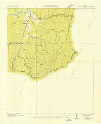
1935 Tray Mountain
Towns County, GA
1938 Tray Mountain
Towns County, GA
1941 Osborn
Towns County, GA
1943 Osborn
Towns County, GA
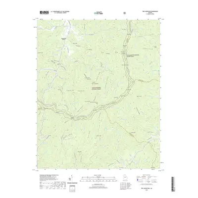
1957 Tray Mountain
Towns County, GA
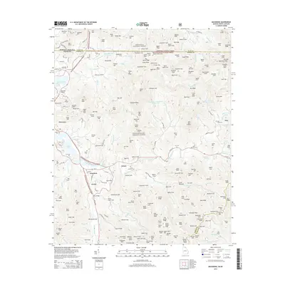
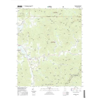
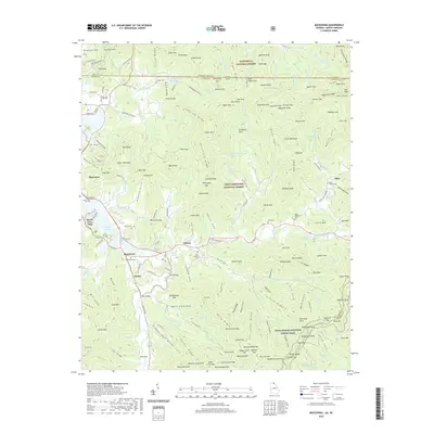
1966 Macedonia
Towns County, GA
1988 Macedonia
Towns County, GA
2011 Macedonia
Towns County, GA
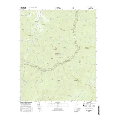
2011 Tray Mountain
Towns County, GA
2014 Macedonia
Towns County, GA
2014 Tray Mountain
Towns County, GA
2017 Macedonia
Towns County, GA
2017 Tray Mountain
Towns County, GA
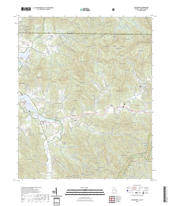
2020 Macedonia
Towns County, GA
2020 Tray Mountain
Towns County, GA
2024 Macedonia
Towns County, GA
2024 Tray Mountain
Towns County, GA