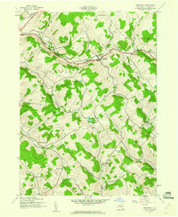
1943 Map of Treadwell
USGS Topo · Published 1960About this map
Treadwell and the high ridge country of Delaware County are captured here in a wartime survey based on 1942 and 1943 aerial photography. The landscape is defined by its deep hollows and narrow brook valleys, including Fish Hollow, Dunk Hill Hollow, and Freer Hollow. Settlement patterns follow these watercourses, with small hamlets like Leonta and West Meredith positioned along the primary routes.
Find a feature on this map
42 named features on this map. Tap any name to fly to it.
Don’t see what you’re looking for? This feature index may not catch every label — zoom into the map to look around manually.
Map Details
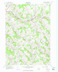
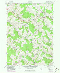
Editions of this 1943 Treadwell Map
3 editions found
Other maps of this area

1909 · Delhi
USGS Topo · 1:62,500

1911 · Delhi
USGS Topo · 1:62,500

1915 · Oneonta
USGS Topo · 1:62,500

1918 · Oneonta
USGS Topo · 1:62,500

1922 · Andes
USGS Topo · 1:62,500

1923 · Walton
USGS Topo · 1:48,000

1924 · Andes
USGS Topo · 1:62,500

1925 · Walton
USGS Topo · 1:62,500

1943 · Delhi
USGS Topo · 1:24,000

1943 · Franklin
USGS Topo · 1:24,000