
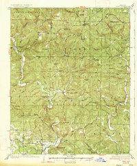
1934 Map of Treat
USGS Topo · Published 1934About this map
Ozark National Forest dominates this landscape, where early 1930s topographic details reveal a network of isolated homesteads and community hubs along the Dillen Highway and various unpaved motorways. This survey captures the transition of the northern Arkansas highlands as the Sand Gap Pelsor PO and Fairview Fire Tower stood as vital communication and observation points for the region.
Find a feature on this map
86 named features on this map. Tap any name to fly to it.
Don’t see what you’re looking for? This feature index may not catch every label — zoom into the map to look around manually.
Map Details
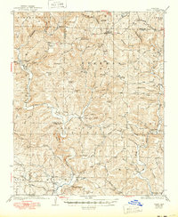
Editions of this 1934 Treat Map
3 editions found
Other maps of this area

1879 · Washington
USGS Topo · 1:62,500

1887 · Smyrna
USGS Topo · 1:62,500

1888 · Dardanelle #2
USGS Topo · 1:62,500

1888 · Dardanelle #1
USGS Topo · 1:62,500

1889 · Treat
USGS Topo · 1:62,500

1889 · Marshall #3
USGS Topo · 1:62,500

1889 · Ozone
USGS Topo · 1:62,500

1890 · Dardanelle
USGS Topo · 1:125,000

1892 · Marshall
USGS Topo · 1:125,000

1892 · Morrillton
USGS Topo · 1:125,000