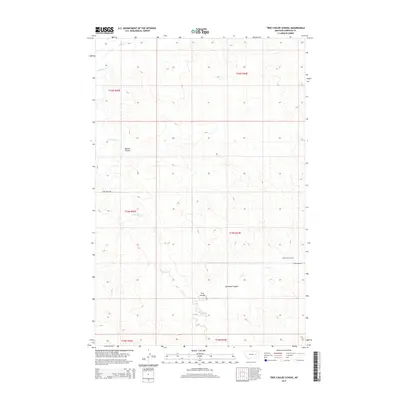
2014 Map of Tree Coulee School
USGS Topo · Published 2014About this map
Tree Coulee School stands as a focal point of this Garfield County landscape, situated near the intersection of Tree Cr and the winding Crow Rock Rd. The terrain is defined by a series of drainage systems and coulees, including Tree Coulee, Neuhardt Coulee, and Beaver Coulee, which channel water toward larger arteries like Crow-Rock Cr and Antelope Cr. The map's layout reflects the sprawling, open character of eastern Montana, where life and travel are dictated by these natural contours and the essential access provided by local roads. This 2014 survey documents the persistence of small rural landmarks and the organized Public Land Survey System grid across a landscape shaped by intermittent watercourses.
Find a feature on this map
15 named features on this map. Tap any name to fly to it.
Don’t see what you’re looking for? This feature index may not catch every label — zoom into the map to look around manually.
Map Details
Editions of this 2014 Tree Coulee School Map
This is the sole edition of this map. No revisions or reprints were ever made.
Other maps of this area

1954 · Jordan
USGS Topo · 1:250,000

1954 · Forsyth
USGS Topo · 1:250,000

1956 · Jordan
USGS Topo · 1:250,000

1957 · Forsyth
USGS Topo · 1:250,000

1958 · Jordan
USGS Topo · 1:250,000

1958 · Forsyth
USGS Topo · 1:250,000

1964 · Jordan
USGS Topo · 1:250,000

1965 · Hedstrom Lake
USGS Topo · 1:24,000

1965 · Little Chalk Butte
USGS Topo · 1:24,000

1965 · Hedstrom Lake SE
USGS Topo · 1:24,000