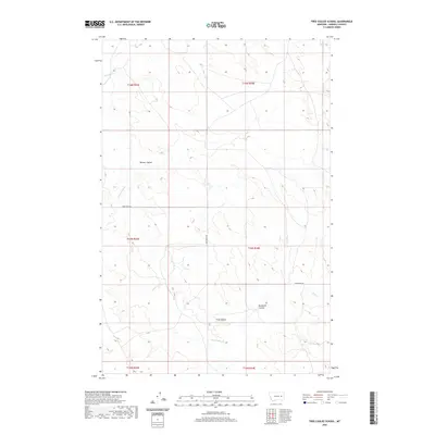
2020 Map of Tree Coulee School
USGS Topo · Published 2020About this map
Crow Rock Rd cuts through this remote stretch of Garfield County, marking one of the few improved corridors in a landscape defined by seasonal drainages. Named for the school that once served this rural township, the area is an intricate network of coulees and creeks that feed into larger regional basins. Local geography is dominated by the winding paths of Crow Rock Cr and Tree Coulee, while Neuhardt Coulee provides a family-named landmark for genealogists tracing homesteads in this part of Montana. The land is partitioned into large townships, including t15n r43e and t15n r44e, where the terrain transitions between the high divides and the valleys of Beaver Coulee and Antelope Cr.
Find a feature on this map
13 named features on this map. Tap any name to fly to it.
Don’t see what you’re looking for? This feature index may not catch every label — zoom into the map to look around manually.
Map Details
Editions of this 2020 Tree Coulee School Map
This is the sole edition of this map. No revisions or reprints were ever made.
Other maps of this area

1954 · Jordan
USGS Topo · 1:250,000

1954 · Forsyth
USGS Topo · 1:250,000

1956 · Jordan
USGS Topo · 1:250,000

1957 · Forsyth
USGS Topo · 1:250,000

1958 · Jordan
USGS Topo · 1:250,000

1958 · Forsyth
USGS Topo · 1:250,000

1964 · Jordan
USGS Topo · 1:250,000

1965 · Hedstrom Lake
USGS Topo · 1:24,000

1965 · Little Chalk Butte
USGS Topo · 1:24,000

1965 · Hedstrom Lake SE
USGS Topo · 1:24,000