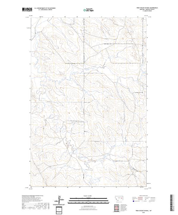
2024 Map of Tree Coulee School
USGS Topo · Published 2024About this map
Crow Rock Creek and Beaver Coulee define the drainage patterns of this rural Garfield County landscape. This part of Montana is characterized by its dramatic coulee systems and high plateaus, which have long dictated the movement of people and livestock through the region. The map reveals how the modern Crow Rock Rd follows these natural contours, connecting the vast stretches of ranch land across several townships.
Find a feature on this map
11 named features on this map. Tap any name to fly to it.
Don’t see what you’re looking for? This feature index may not catch every label — zoom into the map to look around manually.
Map Details
Editions of this 2024 Tree Coulee School Map
This is the sole edition of this map. No revisions or reprints were ever made.
Other maps of this area

1954 · Jordan
USGS Topo · 1:250,000

1954 · Forsyth
USGS Topo · 1:250,000

1956 · Jordan
USGS Topo · 1:250,000

1957 · Forsyth
USGS Topo · 1:250,000

1958 · Jordan
USGS Topo · 1:250,000

1958 · Forsyth
USGS Topo · 1:250,000

1964 · Jordan
USGS Topo · 1:250,000

1965 · Hedstrom Lake
USGS Topo · 1:24,000

1965 · Little Chalk Butte
USGS Topo · 1:24,000

1965 · Hedstrom Lake SE
USGS Topo · 1:24,000