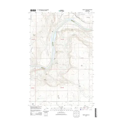
2014 Map of Trefry Canyon
USGS Topo · Published 2014About this map
The Columbia River carves a deep, winding path through this portion of the Pacific Northwest, marking the boundary between Okanogan and Douglas counties. North of the river, the Colville Indian Reservation extends across a landscape defined by sharp elevation changes, where features like Stubblefield Point and Saddle Horse Flat overlook the water. Numerous natural springs, such as Zeeman Spring and Mutter Spring, are scattered throughout the draws and canyons, hinting at the complex hydrology of these arid bluffs.
Find a feature on this map
58 named features on this map. Tap any name to fly to it.
Don’t see what you’re looking for? This feature index may not catch every label — zoom into the map to look around manually.
Map Details
Editions of this 2014 Trefry Canyon Map
This is the sole edition of this map. No revisions or reprints were ever made.
Other maps of this area

1950 · Boot Mtn
USGS Topo · 1:62,500

1950 · Alameda Flat
USGS Topo · 1:62,500

1952 · Alameda Flat
USGS Topo · 1:62,500

1953 · Ritzville
USGS Topo · 1:250,000

1954 · Okanogan
USGS Topo · 1:250,000

1958 · Okanogan
USGS Topo · 1:250,000

1959 · Ritzville
USGS Topo · 1:250,000

1965 · Ritzville
USGS Topo · 1:250,000

1968 · Barker Canyon
USGS Topo · 1:24,000

1968 · Foster Coulee
USGS Topo · 1:24,000