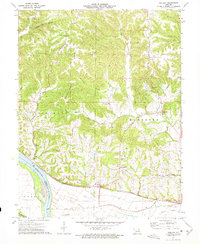
1973 Map of Treloar
USGS Topo · Published 1975About this map
The Missouri River corridor in Warren County defines this 1970s landscape, where the Missouri Kansas Texas railroad line runs parallel to the water through the settlements of Peers and Treloar. The terrain is marked by deep incisions like Devils Den Hollow and prominent elevations such as Pinckney Ridge. To the south, the river bends around Boeuf Island at the Franklin County line.
Find a feature on this map
39 named features on this map. Tap any name to fly to it.
Don’t see what you’re looking for? This feature index may not catch every label — zoom into the map to look around manually.
Map Details
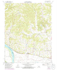
Editions of this 1973 Treloar Map
2 editions found
Other maps of this area

1890 · Hermann
USGS Topo · 1:125,000

1936 · Hermann
USGS Topo · 1:48,000

1942 · Hermann
USGS Topo · 1:62,500

1942 · New Florence
USGS Topo · 1:62,500

1943 · Warrenton
USGS Topo · 1:62,500

1945 · Hermann
USGS Topo · 1:62,500

1945 · Warrenton
USGS Topo · 1:62,500

1946 · New Florence
USGS Topo · 1:62,500

1948 · Washington
USGS Topo · 1:62,500

1949 · Saint Louis
USGS Topo · 1:250,000