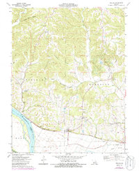
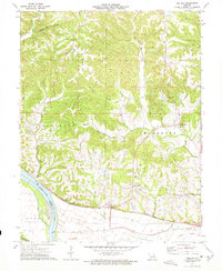
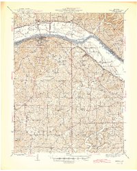
1973 Map of Treloar
USGS Topo · Published 1986About this map
The Missouri River defines the southern boundary of this region, where the Missouri Kansas Texas railroad parallels the riverbank, connecting small river towns. The settlement of Treloar serves as a central hub, while the interior is marked by the high ground of Pinckney Ridge and a network of valleys carved by Smith Creek and the Dry Fork. This landscape in the early 1970s shows a deeply rooted rural community, evidenced by numerous historical markers of social life such as the Holstein Sch and St Ignatius Sch.
Find a feature on this map
45 named features on this map. Tap any name to fly to it.
Don’t see what you’re looking for? This feature index may not catch every label — zoom into the map to look around manually.
Map Details
Editions of this 1973 Treloar Map
2 editions found
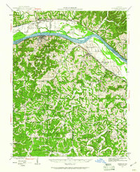
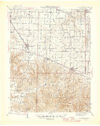
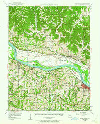
Other maps of this area

1890 · Hermann
USGS Topo · 1:125,000

1936 · Hermann
USGS Topo · 1:48,000
1942 · Hermann
USGS Topo · 1:62,500
1942 · New Florence
USGS Topo · 1:62,500

1943 · Warrenton
USGS Topo · 1:62,500
1945 · Hermann
USGS Topo · 1:62,500

1945 · Warrenton
USGS Topo · 1:62,500
1946 · New Florence
USGS Topo · 1:62,500
1948 · Washington
USGS Topo · 1:62,500

1949 · Saint Louis
USGS Topo · 1:250,000