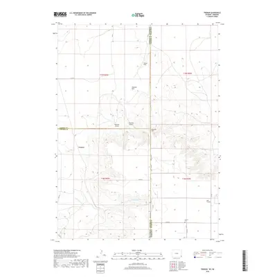
2018 Map of Tremain
USGS Topo · Published 2018About this map
The settlement of Tremain sits near the intersection of the Laramie and Goshen county lines, anchoring a landscape defined by deep drainages and intermittent watercourses. The state boundary between Wyoming and Nebraska cuts vertically through the eastern portion of the sheet, marked by State Line Rd, which separates Laramie County from Banner County. The terrain is characterized by prominent landmarks like Ninemile Rock and Ninemile Hill, with numerous canyons such as Wyoming Canyon, Ninemile Canyon, and Bull Canyon carving through the high plains. Local history is anchored at the Epworth Cem in the southeastern corner, while the wandering path of Stinking Water Cr flows through the southern half of the quadrangle. This 2018 survey illustrates the persistent rural character of the High Plains, where remote section roads like Co Rd 162 and Co Rd 237 connect isolated ranchlands across state and county borders.
Find a feature on this map
26 named features on this map. Tap any name to fly to it.
Don’t see what you’re looking for? This feature index may not catch every label — zoom into the map to look around manually.
Map Details
Editions of this 2018 Tremain Map
This is the sole edition of this map. No revisions or reprints were ever made.
Other maps of this area

1898 · Scotts Bluff
USGS Topo · 1:125,000

1899 · Goshen Hole
USGS Topo · 1:125,000

1954 · Scottsbluff
USGS Topo · 1:250,000

1954 · Cheyenne
USGS Topo · 1:250,000

1958 · Cheyenne
USGS Topo · 1:250,000

1958 · Scottsbluff
USGS Topo · 1:250,000

1960 · Tremain
USGS Topo · 1:24,000

1960 · Mc Compsey Pass
USGS Topo · 1:24,000

1960 · Petsch Reservoir
USGS Topo · 1:24,000

1960 · La Grange
USGS Topo · 1:24,000