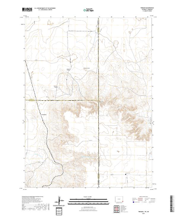
2021 Map of Tremain
USGS Topo · Published 2021About this map
The high plains of the Wyoming-Nebraska border converge in this study of a remote ranching landscape. Centered near the settlement of Tremain, the map tracks the subtle drainage patterns of Stinking Water Creek and Craton Draw as they wind through the high prairie. The intersection of Goshen and Laramie Counties meets the state line here, creating a surveyor’s puzzle of jurisdictional boundaries that define local land ownership and history.
Find a feature on this map
26 named features on this map. Tap any name to fly to it.
Don’t see what you’re looking for? This feature index may not catch every label — zoom into the map to look around manually.
Map Details
Editions of this 2021 Tremain Map
This is the sole edition of this map. No revisions or reprints were ever made.
Other maps of this area

1898 · Scotts Bluff
USGS Topo · 1:125,000

1899 · Goshen Hole
USGS Topo · 1:125,000

1954 · Scottsbluff
USGS Topo · 1:250,000

1954 · Cheyenne
USGS Topo · 1:250,000

1958 · Cheyenne
USGS Topo · 1:250,000

1958 · Scottsbluff
USGS Topo · 1:250,000

1960 · Tremain
USGS Topo · 1:24,000

1960 · Mc Compsey Pass
USGS Topo · 1:24,000

1960 · Petsch Reservoir
USGS Topo · 1:24,000

1960 · La Grange
USGS Topo · 1:24,000