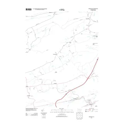
2013 Map of Tremont
USGS Topo · Published 2013About this map
Donaldson and Tremont anchor the southern portion of this Schuylkill County landscape, where the valley floor is defined by the winding course of Good Spring Creek and Coal Run. The geography is sharply divided by the presence of Little Mountain and Red Mountain, creating a corridor of development that contrasts with the more dispersed rural agricultural patterns seen at Hinkel Farms to the north.
Find a feature on this map
91 named features on this map. Tap any name to fly to it.
Don’t see what you’re looking for? This feature index may not catch every label — zoom into the map to look around manually.
Map Details
Editions of this 2013 Tremont Map
This is the sole edition of this map. No revisions or reprints were ever made.
Other maps of this area

1889 · Catawissa
USGS Topo · 1:62,500

1892 · Catawissa
USGS Topo · 1:62,500

1892 · Lykens
USGS Topo · 1:62,500

1892 · Shamokin
USGS Topo · 1:62,500

1892 · Pine Grove
USGS Topo · 1:62,500

1893 · Lykens
USGS Topo · 1:62,500

1893 · Shamokin
USGS Topo · 1:62,500

1894 · Catawissa
USGS Topo · 1:62,500

1943 · Lykens
USGS Topo · 1:62,500

1943 · Shamokin
USGS Topo · 1:62,500