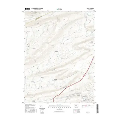
2016 Map of Tremont
USGS Topo · Published 2016About this map
Tremont and the coal-region boroughs of western Schuylkill County are defined by a series of southwest-to-northeast ridges, including Broad Mountain and Mahantango Mtn. The landscape shows a clear divide between the agricultural valleys near Hegins and the industrial character of the southern portion, where Good Spring Cr flows through the historic mining settlements of Donaldson and Good Spring. In the north, the terrain is shaped by the steep slopes of Mahanoy Mtn and Line Mtn, with the small communities of Helfenstein and Taylorville marking the boundary near Mahanoy Creek. Transport in the area is anchored by the Schuylkill County / Joe Zerbey / Airport, while water features like Beurys Lake and Dell Lake offer a break from the dense timber of the mountains.
Find a feature on this map
72 named features on this map. Tap any name to fly to it.
Don’t see what you’re looking for? This feature index may not catch every label — zoom into the map to look around manually.
Map Details
Editions of this 2016 Tremont Map
This is the sole edition of this map. No revisions or reprints were ever made.
Other maps of this area

1889 · Catawissa
USGS Topo · 1:62,500

1892 · Catawissa
USGS Topo · 1:62,500

1892 · Lykens
USGS Topo · 1:62,500

1892 · Shamokin
USGS Topo · 1:62,500

1892 · Pine Grove
USGS Topo · 1:62,500

1893 · Lykens
USGS Topo · 1:62,500

1893 · Shamokin
USGS Topo · 1:62,500

1894 · Catawissa
USGS Topo · 1:62,500

1943 · Lykens
USGS Topo · 1:62,500

1943 · Shamokin
USGS Topo · 1:62,500