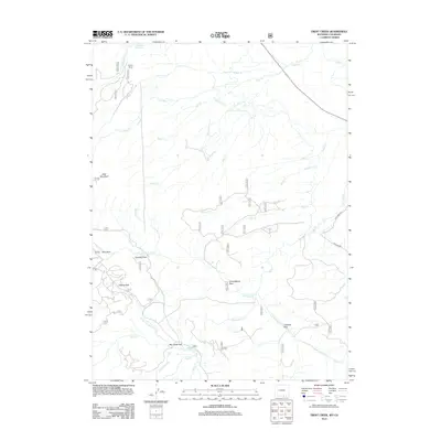
2012 Map of Trent Creek
USGS Topo · Published 2012About this map
Skyline Ranch sits at the northern edge of this high-elevation landscape, where the headwaters of numerous creeks begin their descent through Carbon County. The terrain is defined by a series of open meadows and clearings, including Jerry Park, Quimby Park, Casteel Park, and Cunningham Park, which break up the forest cover. An intricate drainage system feeds into the many forks of Big Creek, while the presence of the Casteel Ditch and the Continental Ditch indicates a history of water management to support local land use. This 2012 survey illustrates the remote character of the region, anchored by the prominence of Bear Mountain in the west and Summit Reservoir near the northern border, providing a clear record of the watershed as it appeared in the early 21st century.
Find a feature on this map
30 named features on this map. Tap any name to fly to it.
Don’t see what you’re looking for? This feature index may not catch every label — zoom into the map to look around manually.
Map Details
Editions of this 2012 Trent Creek Map
This is the sole edition of this map. No revisions or reprints were ever made.
Other maps of this area

1906 · Medicine Bow
USGS Topo · 1:125,000

1908 · Medicine Bow
USGS Topo · 1:125,000

1911 · Hahns Peak
USGS Topo · 1:125,000

1913 · Hahns Peak
USGS Topo · 1:125,000

1939 · Saratoga
USGS Topo · 1:125,000

1954 · Rawlins
USGS Topo · 1:250,000

1954 · Craig
USGS Topo · 1:250,000

1955 · Davis Peak
USGS Topo · 1:24,000

1955 · Independence Mountain
USGS Topo · 1:24,000

1955 · Pearl
USGS Topo · 1:24,000