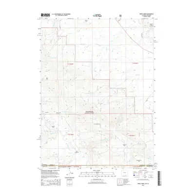
2015 Map of Trent Creek
USGS Topo · Published 2015About this map
The Medicine Bow National Forest and Routt National Forest converge at the high-altitude border between Wyoming and Colorado on this modern survey. The terrain is defined by the peaks of the Medicine Bow Mountains, including Bear Mtn and Independence Mtn, interspersed with mountain meadows or "parks" like Jerry Park and Casteel Park. Water management is a critical feature of the landscape, demonstrated by the presence of the Continental Ditch and Casteel Ditch, which redirect snowmelt through the rugged topography. Traces of human activity are concentrated along routes like Copper Mine Rd and Holroyd Rd, while the numerous branches of Big Cr, including the Middle Fork Big Cr and S Fork Big Cr, establish the area's complex drainage patterns.
Find a feature on this map
40 named features on this map. Tap any name to fly to it.
Don’t see what you’re looking for? This feature index may not catch every label — zoom into the map to look around manually.
Map Details
Editions of this 2015 Trent Creek Map
This is the sole edition of this map. No revisions or reprints were ever made.
Other maps of this area

1906 · Medicine Bow
USGS Topo · 1:125,000

1908 · Medicine Bow
USGS Topo · 1:125,000

1911 · Hahns Peak
USGS Topo · 1:125,000

1913 · Hahns Peak
USGS Topo · 1:125,000

1939 · Saratoga
USGS Topo · 1:125,000

1954 · Rawlins
USGS Topo · 1:250,000

1954 · Craig
USGS Topo · 1:250,000

1955 · Davis Peak
USGS Topo · 1:24,000

1955 · Independence Mountain
USGS Topo · 1:24,000

1955 · Pearl
USGS Topo · 1:24,000