2021 Map of Trent
USGS Topo · Published 2021About this map
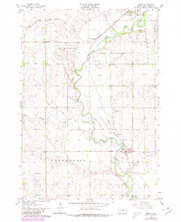
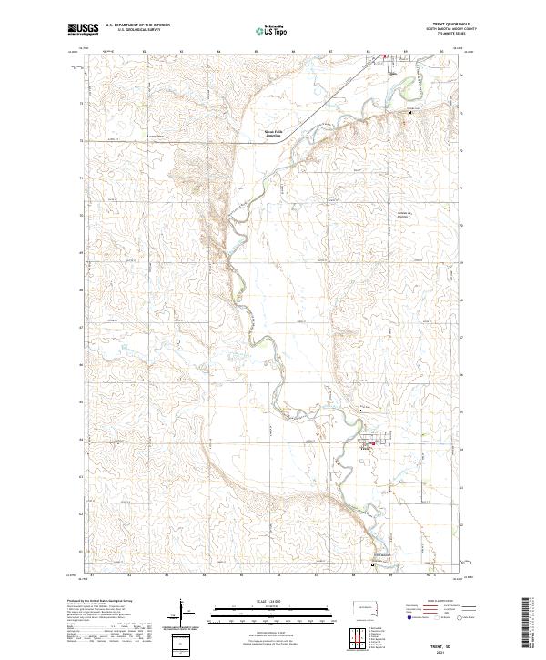
The Big Sioux River carves a winding path through this portion of Moody County, defining the agricultural and recreational landscape of the region. On its eastern banks, the town of Trent serves as a local hub, while the settlement of Egan anchors the northern reaches. The terrain is part of the Coteau des Prairies, an expansive plateau that rises above the surrounding plains. The map identifies significant historical and cultural landmarks, including the Trent Mounds and several local burial grounds such as Hillside Cem and Riverview Cem.
Find a feature on this map
51 named features on this map. Tap any name to fly to it.
Don’t see what you’re looking for? This feature index may not catch every label — zoom into the map to look around manually.
Map Details
Editions of this 2021 Trent Map
This is the sole edition of this map. No revisions or reprints were ever made.