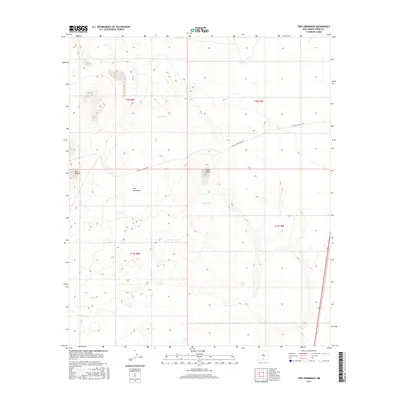
2017 Map of Tres Hermanos
USGS Topo · Published 2017About this map
Tres Hermanos sits in a high desert landscape within Otero County, defined by its sparse water resources and historic transit routes. This 2017 survey by the U.S. Geological Survey captures a region where survival and movement are tied to isolated landmarks and catchment basins. The Old Las Cruces Hwy cuts across the northern half of the map, tracing a traditional path through the arid terrain. Prominent natural elevations like Lone Butte and Twin Buttes serve as essential navigational anchors in the open country.
Find a feature on this map
12 named features on this map. Tap any name to fly to it.
Don’t see what you’re looking for? This feature index may not catch every label — zoom into the map to look around manually.
Map Details
Editions of this 2017 Tres Hermanos Map
This is the sole edition of this map. No revisions or reprints were ever made.
Other maps of this area

1916 · Point Of Sands
USGS Topo · 1:125,000

1948 · Tres Hermanos
USGS Topo · 1:62,500

1948 · Holloman
USGS Topo · 1:62,500

1950 · Escondido Canyon
USGS Topo · 1:62,500

1950 · Alamogordo
USGS Topo · 1:62,500

1954 · Carlsbad
USGS Topo · 1:250,000

1955 · Las Cruces
USGS Topo · 1:250,000

1958 · Las Cruces
USGS Topo · 1:250,000

1958 · Carlsbad
USGS Topo · 1:250,000

1976 · Mule Peak
USGS Topo · 1:24,000