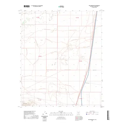
2023 Map of Tres Hermanos SE
USGS Topo · Published 2023About this map
The Jarilla Mountains anchor the southwestern corner of this desert landscape, where the rising elevation creates a distinct topographic contrast with the surrounding basin. This area is heavily defined by federal land use and recreational activity, with the extensive Red Sands Ohv - Trail System Trl winding through the terrain, indicating a complex network of off-highway vehicle paths. A significant portion of the eastern section is occupied by the Fort Bliss military reservation, showcasing the intersection of public recreation and defense infrastructure in the Otero County region.
Find a feature on this map
11 named features on this map. Tap any name to fly to it.
Don’t see what you’re looking for? This feature index may not catch every label — zoom into the map to look around manually.
Map Details
Editions of this 2023 Tres Hermanos SE Map
This is the sole edition of this map. No revisions or reprints were ever made.
Other maps of this area

1916 · Point Of Sands
USGS Topo · 1:125,000

1940 · Orogrande
USGS Topo · 1:62,500

1943 · Pendejo Wash
USGS Topo · 1:62,500

1943 · Orogrande
USGS Topo · 1:62,500

1947 · Orogrande North
USGS Topo · 1:24,000

1948 · Elephant Mountain
USGS Topo · 1:24,000

1948 · Tres Hermanos
USGS Topo · 1:62,500

1950 · Escondido Canyon
USGS Topo · 1:62,500

1954 · Carlsbad
USGS Topo · 1:250,000
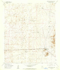
1955 · Elephant Mountain
USGS Topo · 1:24,000