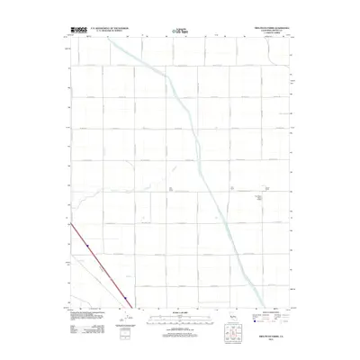
2012 Map of Tres Picos Farms
USGS Topo · Published 2012About this map
The Governor Edmund G Brown California Aqueduct slices diagonally through this agricultural landscape in Fresno County, serving as the central engineered artery for the region's industrial-scale farming operations. Named for the former governor, the massive water project is surrounded by a rigid grid of rural roads like S Amador Rd and W Mount Whitney Ave. The map identifies localized centers of activity such as Tres Picos Farms and private operations at Terry Ranch and Farrell Ranch. Natural drainage is still visible through the intermittent paths of Cantua Cr and Salt Cr, which traverse the flat valley floor. In the eastern portion of the sheet, the Five Points Ranch Airport provides a specialized transport link within this highly organized patchwork of fields and irrigation infrastructure.
Find a feature on this map
24 named features on this map. Tap any name to fly to it.
Don’t see what you’re looking for? This feature index may not catch every label — zoom into the map to look around manually.
Map Details
Editions of this 2012 Tres Picos Farms Map
This is the sole edition of this map. No revisions or reprints were ever made.
Other maps of this area

1912 · Coalinga
USGS Topo · 1:125,000

1923 · Levis
USGS Topo · 1:31,680

1923 · Englebrecht Ranch
USGS Topo · 1:31,680

1925 · San Joaquin
USGS Topo · 1:31,680

1928 · Delta Farms No 3
USGS Topo · 1:31,680

1931 · Towne Oil Station
USGS Topo · 1:31,680

1931 · Mouth of Cantua Creek
USGS Topo · 1:31,680

1932 · Delta Farms
USGS Topo · 1:31,680

1943 · Joaquin Rocks
USGS Topo · 1:62,500

1946 · Tranquillity
USGS Topo · 1:62,500