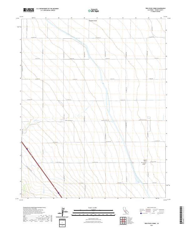
2021 Map of Tres Picos Farms
USGS Topo · Published 2021About this map
The Governor Edmund G Brown California Aqueduct dominates this agricultural landscape within the San Joaquin Valley, cutting a distinct diagonal through the geometric grid of Fresno County's section lines. The map reveals the massive scale of water management required for industrial-scale farming in the Central Valley, where natural watercourses like Cantua Cr, Salt Cr, and Martinez Cr are often diverted or channeled to navigate around the vast fields. A network of named arterial roads, including S Oil City Ave and the Coalinga-Mendota Rd, provides the essential infrastructure for transporting crops and equipment across this deeply surveyed terrain. This modern survey captures the region's total conversion to an engineered agricultural environment, where even the terrain labels like Cantua Creek refer to a landscape defined by irrigation and precise land division.
Find a feature on this map
29 named features on this map. Tap any name to fly to it.
Don’t see what you’re looking for? This feature index may not catch every label — zoom into the map to look around manually.
Map Details
Editions of this 2021 Tres Picos Farms Map
This is the sole edition of this map. No revisions or reprints were ever made.
Other maps of this area

1912 · Coalinga
USGS Topo · 1:125,000

1923 · Levis
USGS Topo · 1:31,680

1923 · Englebrecht Ranch
USGS Topo · 1:31,680

1925 · San Joaquin
USGS Topo · 1:31,680

1928 · Delta Farms No 3
USGS Topo · 1:31,680

1931 · Towne Oil Station
USGS Topo · 1:31,680

1931 · Mouth of Cantua Creek
USGS Topo · 1:31,680

1932 · Delta Farms
USGS Topo · 1:31,680

1943 · Joaquin Rocks
USGS Topo · 1:62,500

1946 · Tranquillity
USGS Topo · 1:62,500