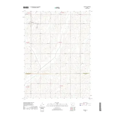
2018 Map of Treynor
USGS Topo · Published 2018About this map
Treynor stands at the northern edge of this southwestern Iowa landscape, where the township lines of T75N and T74N converge. The settlement is anchored by the Treynor Zion Congregational Cem, a site of significant local genealogical value. The surrounding terrain is defined by a dense network of drainage, primarily the branches of Silver Creek and Little Silver Cr, which carve through the agricultural uplands. Moving south across the Pottawattamie Co Mills Co line, the map reveals a transition into Mills County, where the rural road grid remains the primary organizing feature. Historical routes like Pioneer Trl and Co Hwy H12 connect the scattered farmsteads, while the winding course of Mud Cr marks the eastern boundary of the surveyed area.
Find a feature on this map
28 named features on this map. Tap any name to fly to it.
Don’t see what you’re looking for? This feature index may not catch every label — zoom into the map to look around manually.
Map Details
Editions of this 2018 Treynor Map
This is the sole edition of this map. No revisions or reprints were ever made.
Other maps of this area

1954 · Omaha
USGS Topo · 1:250,000

1956 · Glenwood
USGS Topo · 1:24,000

1956 · Mineola
USGS Topo · 1:24,000

1956 · Treynor
USGS Topo · 1:24,000

1956 · Mc Clelland
USGS Topo · 1:24,000

1956 · Malvern
USGS Topo · 1:24,000

1957 · Omaha
USGS Topo · 1:250,000

1957 · Taylor
USGS Topo · 1:24,000

1958 · Omaha
USGS Topo · 1:250,000

1963 · Oakland
USGS Topo · 1:24,000