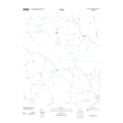
2013 Map of Trezevant West
USGS Topo · Published 2013About this map
The South Fork Obion River meanders across this rural Tennessee landscape, defining the character of a region marked by small historical settlements and a dense network of country roads. Small communities such as Holly Leaf and Christmasville serve as focal points for the surrounding agricultural tracts, while Staffords Store and Gann anchor the northern and southern reaches. The landscape is heavily dissected by a system of creeks and branches, including Thompson Cr, Dolan Cr, and Bear Cr, which drain into the main river channel. Local history is etched into the road names, with routes like Old Christmasville School Rd and Stafford Store Rd indicating the prior locations of essential community hubs. The presence of numerous family-named landmarks, such as DeMoss Br and Cane Br, provides a clear view of the longstanding ties between the land and the residents of this Carroll County area in the early 21st century.
Find a feature on this map
76 named features on this map. Tap any name to fly to it.
Don’t see what you’re looking for? This feature index may not catch every label — zoom into the map to look around manually.
Map Details
Editions of this 2013 Trezevant West Map
This is the sole edition of this map. No revisions or reprints were ever made.
Other maps of this area

1952 · Milan
USGS Topo · 1:24,000

1954 · Greenfield
USGS Topo · 1:24,000

1954 · Bradford
USGS Topo · 1:24,000

1956 · Dyersburg
USGS Topo · 1:250,000

1956 · Blytheville
USGS Topo · 1:250,000

1959 · Blytheville
USGS Topo · 1:250,000

1966 · Mc Lemoresville
USGS Topo · 1:24,000

1966 · Atwood
USGS Topo · 1:24,000

1966 · Trezevant West
USGS Topo · 1:24,000

1967 · Pillowville
USGS Topo · 1:24,000