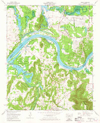
1964 Map of Triana
USGS Topo · Published 1965About this map
Triana and the expansive waters of Wheeler Lake dominate this mid-century survey along the Tennessee River. The landscape reflects a complex transition between the established military grounds of Redstone Arsenal and the protected marshes of the Wheeler National Wildlife Refuge. While the north is marked by government infrastructure including a pumping station and several radio towers, the southern reach into Morgan County reveals a rural settlement pattern defined by creek bottoms and family landmarks. Genealogists can find numerous burial sites such as Winton Cem and Breeding Cem, alongside local spiritual centers like Mt Mariah Ch and Curries Chapel. The topography rises sharply from the river flats toward the heights of Brindley Mountain, punctuated by distinctive geological features like The Booger Hole and the Blue Hole.
Find a feature on this map
91 named features on this map. Tap any name to fly to it.
Don’t see what you’re looking for? This feature index may not catch every label — zoom into the map to look around manually.
Map Details
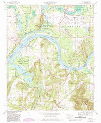
Editions of this 1964 Triana Map
2 editions found
Other maps of this area

1888 · Cullman
USGS Topo · 1:125,000

1888 · Huntsville
USGS Topo · 1:125,000

1892 · Cullman
USGS Topo · 1:125,000

1892 · Huntsville
USGS Topo · 1:125,000

1936 · Triana
USGS Topo · 1:24,000

1936 · Madison
USGS Topo · 1:24,000

1936 · Somerville
USGS Topo · 1:24,000

1936 · Center Grove
USGS Topo · 1:24,000

1936 · Mason Ridge
USGS Topo · 1:24,000

1936 · Greenbrier
USGS Topo · 1:24,000