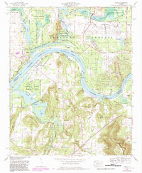
1964 Map of Triana
USGS Topo · Published 1983About this map
Triana and the surrounding river bottomlands are captured in this mid-century survey, showcasing a landscape defined by the winding Tennessee River-Wheeler Lake. This area reflects the significant influence of federal activity, with the Wheeler National Wildlife Refuge and the southern reaches of the Redstone Arsenal occupying vast portions of the terrain. The presence of the Marshall Space Flight Center (NASA) near the Huntsville Spring Branch signals the region's mid-century transition toward the aerospace age.
Find a feature on this map
83 named features on this map. Tap any name to fly to it.
Don’t see what you’re looking for? This feature index may not catch every label — zoom into the map to look around manually.
Map Details
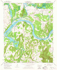
Editions of this 1964 Triana Map
2 editions found
Other maps of this area

1888 · Cullman
USGS Topo · 1:125,000

1888 · Huntsville
USGS Topo · 1:125,000

1892 · Cullman
USGS Topo · 1:125,000

1892 · Huntsville
USGS Topo · 1:125,000

1936 · Triana
USGS Topo · 1:24,000

1936 · Madison
USGS Topo · 1:24,000

1936 · Somerville
USGS Topo · 1:24,000

1936 · Center Grove
USGS Topo · 1:24,000

1936 · Mason Ridge
USGS Topo · 1:24,000

1936 · Greenbrier
USGS Topo · 1:24,000