
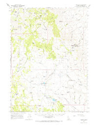
1965 Map of Triangle
USGS Topo · Published 1967About this map
The Silver City Range dominates this mid-1960s survey of Owyhee County, providing a detailed look at the high-desert terrain and the infrastructure that supported local ranching and mining operations. Centered on the settlement of Triangle, the map reveals a network of primitive transportation routes, including the French Grade and numerous jeep trails that traverse the complex topography of China Butte and Quicksilver Mtn. The presence of the Triangle Airstrip and landmarks such as the Afterthought Mine suggest a landscape where isolated industrial sites and livestock management define the human footprint.
Find a feature on this map
74 named features on this map. Tap any name to fly to it.
Don’t see what you’re looking for? This feature index may not catch every label — zoom into the map to look around manually.
Map Details
Editions of this 1965 Triangle Map
2 editions found
Other maps of this area

1892 · Bisuka
USGS Topo · 1:125,000

1892 · Silver City
USGS Topo · 1:125,000

1894 · Bisuka
USGS Topo · 1:125,000

1894 · Silver City
USGS Topo · 1:125,000

1898 · Silver City
USGS Topo · 1:125,000

1949 · Oreana
USGS Topo · 1:62,500
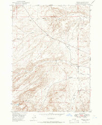
1949 · Oreana
USGS Topo · 1:24,000
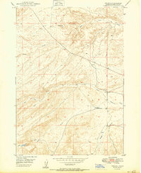
1950 · Oreana
USGS Topo · 1:24,000

1955 · Jordan Valley
USGS Topo · 1:250,000

1955 · Boise
USGS Topo · 1:250,000