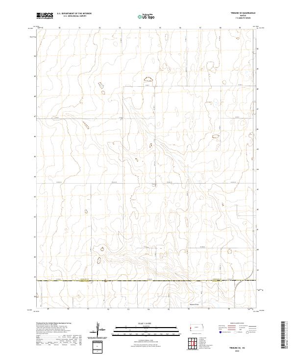
2022 Map of Tribune SE
USGS Topo · Published 2022About this map
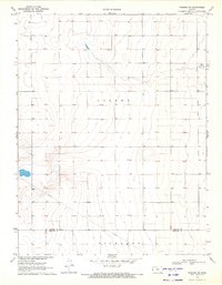
Greeley County and Hamilton County meet in this high plains landscape of western Kansas, defined by the organized grid of the Public Land Survey System. The terrain is marked by gentle undulations and the winding path of Mattox Draw in the southern portion of the quadrangle. This 2022 survey illustrates a purely agrarian region where movement is dictated by a network of section-line roads, including Co Rd 14, Co Rd 15, and the east-west corridor of Co Rd 919. The map provides a precise view of the rural infrastructure and land divisions that have characterized the area since settlement, showing the transition between townships like t20s r41w and t21s r41w. For researchers, the map details the subtle hydrological features and specific county road designations that anchor the local geography.
Find a feature on this map
23 named features on this map. Tap any name to fly to it.
Don’t see what you’re looking for? This feature index may not catch every label — zoom into the map to look around manually.
Map Details
Editions of this 2022 Tribune SE Map
This is the sole edition of this map. No revisions or reprints were ever made.
Other maps of this area

1955 · Scott City
USGS Topo · 1:250,000

1958 · Scott City
USGS Topo · 1:250,000

1966 · Tribune 4 NW
USGS Topo · 1:24,000
1966 · Tribune 3 NE
USGS Topo · 1:24,000
1966 · Tribune 3 NW
USGS Topo · 1:24,000

1970 · Selkirk SW
USGS Topo · 1:24,000

1970 · Selkirk NW
USGS Topo · 1:24,000
1970 · Tribune NW
USGS Topo · 1:24,000

1970 · Tribune SE
USGS Topo · 1:24,000
1970 · Tribune SW
USGS Topo · 1:24,000