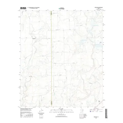
2016 Map of Trickham
USGS Topo · Published 2016About this map
Trickham sits near the western edge of this landscape, positioned where Mukewater Cr winds through the borderlands of Coleman and Brown counties. The area is defined by a sparse ranching economy, where small family burial grounds like Rice Cem and Smith Cem provide critical touchstones for local genealogical research. The drainage patterns of Hay Cr and Baggy Cr illustrate the watershed's role in local land use, while several Soil Conservation Service reservoirs highlight modern water management efforts.
Find a feature on this map
35 named features on this map. Tap any name to fly to it.
Don’t see what you’re looking for? This feature index may not catch every label — zoom into the map to look around manually.
Map Details
Editions of this 2016 Trickham Map
This is the sole edition of this map. No revisions or reprints were ever made.
Other maps of this area

1887 · Coleman
USGS Topo · 1:125,000

1889 · Coleman
USGS Topo · 1:125,000

1894 · Brady
USGS Topo · 1:125,000

1924 · Brady 2-a
USGS Topo · 1:48,000

1925 · Brady 1-b
USGS Topo · 1:48,000

1925 · Brady 1-a
USGS Topo · 1:48,000

1928 · Mercury
USGS Topo · 1:62,500

1928 · Waldrip
USGS Topo · 1:62,500

1950 · Mercury
USGS Topo · 1:62,500

1954 · Brownwood
USGS Topo · 1:250,000