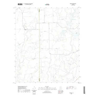
2019 Map of Trickham
USGS Topo · Published 2019About this map
Trickham sits at the intersection of FM 1176 and FM RD in this central Texas landscape, where the boundary between Coleman Co and Brown Co bisects a network of rural county roads. The terrain is defined by the winding course of Mukewater Creek and its many tributaries, such as Hay Cr and Boggy Cr, which drain the surrounding cattle country. Local history is anchored by several family and community burial grounds, including Rice Cem, Brooks Lee Cem, and Smith Cem, often situated near early settlement sites and stream crossings.
Find a feature on this map
34 named features on this map. Tap any name to fly to it.
Don’t see what you’re looking for? This feature index may not catch every label — zoom into the map to look around manually.
Map Details
Editions of this 2019 Trickham Map
This is the sole edition of this map. No revisions or reprints were ever made.
Other maps of this area

1887 · Coleman
USGS Topo · 1:125,000

1889 · Coleman
USGS Topo · 1:125,000

1894 · Brady
USGS Topo · 1:125,000

1924 · Brady 2-a
USGS Topo · 1:48,000

1925 · Brady 1-b
USGS Topo · 1:48,000

1925 · Brady 1-a
USGS Topo · 1:48,000

1928 · Mercury
USGS Topo · 1:62,500

1928 · Waldrip
USGS Topo · 1:62,500

1950 · Mercury
USGS Topo · 1:62,500

1954 · Brownwood
USGS Topo · 1:250,000