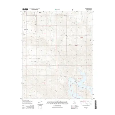
2015 Map of Trimmer
USGS Topo · Published 2015About this map
Trimmer sits at the northern edge of Pine Flat Lake, where the drainage of Billy Cr and Sycamore Cr meets the rising waters of the Kings River watershed. This 2015 survey reveals the topographic interface between the Sierra National Forest and the Sequoia National Forest, highlighting a landscape defined by significant elevation changes. To the northwest, Burrough Valley and Watts Valley offer lower-lying ranching terrain, home to the Watts Valley Cem. Moving east, the terrain climbs sharply toward the Sierra Nevada range, punctuated by prominent summits like Eagle Peak, Hacker Mtn, and Cats Head Mtn. The map traces an intricate network of mountain roads such as Watts Valley Rd and Maxon Rd, which provide access to these foothills and the ridges of Granite Ridge.
Find a feature on this map
45 named features on this map. Tap any name to fly to it.
Don’t see what you’re looking for? This feature index may not catch every label — zoom into the map to look around manually.
Map Details
Editions of this 2015 Trimmer Map
This is the sole edition of this map. No revisions or reprints were ever made.
Other maps of this area

1904 · Kaiser
USGS Topo · 1:125,000

1920 · Orangedale School
USGS Topo · 1:24,000

1922 · Trimmer
USGS Topo · 1:96,000

1923 · Orangedale School
USGS Topo · 1:31,680

1924 · Dinuba
USGS Topo · 1:125,000

1942 · Watts Valley
USGS Topo · 1:62,500

1944 · Watts Valley
USGS Topo · 1:62,500

1947 · Mariposa
USGS Topo · 1:250,000

1948 · Fresno
USGS Topo · 1:250,000

1948 · Mariposa
USGS Topo · 1:250,000