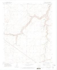
1971 Map of Trinchera Cave
USGS Topo · Published 1973About this map
The Purgatoire River carves a deep path through this portion of Las Animas County, where the high plains break into steep canyons and hidden water sources. This 1971 survey documents a landscape where life centers on these rare water points, featuring uniquely named landmarks such as the Million Dollar Waterhole, Rail O Spring, and Surrett Spring. The presence of the Los Hermanos Penitentes Cem suggests deep cultural roots in the region, while the Trinchera Cave and Trinchera Falls along Trinchera Creek mark significant geological and archaeological points of interest.
Find a feature on this map
22 named features on this map. Tap any name to fly to it.
Don’t see what you’re looking for? This feature index may not catch every label — zoom into the map to look around manually.
Map Details
Editions of this 1971 Trinchera Cave Map
2 editions found
Other maps of this area

1891 · Mesa De Maya
USGS Topo · 1:125,000

1892 · Elmoro
USGS Topo · 1:125,000

1893 · Elmoro
USGS Topo · 1:125,000

1893 · Mesa de Maya
USGS Topo · 1:125,000

1897 · Elmoro
USGS Topo · 1:125,000

1954 · Trinidad
USGS Topo · 1:250,000

1955 · La Junta
USGS Topo · 1:250,000

1955 · Trinidad
USGS Topo · 1:250,000

1958 · La Junta
USGS Topo · 1:250,000

1958 · Trinidad
USGS Topo · 1:250,000