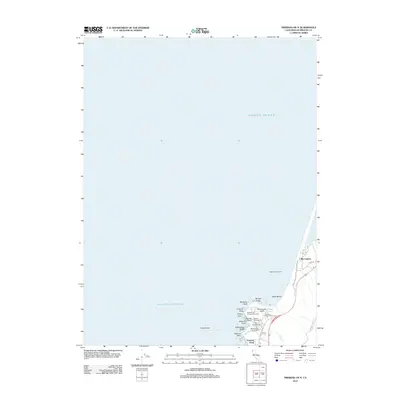
2012 Map of Trinidad OE N
USGS Topo · Published 2012About this map
Big Lagoon and the surrounding Humboldt County coastline are defined by a complex series of marine terraces and rocky outcrops. The map illustrates a concentration of public access points and recreational landmarks along the Pacific edge, including Agate Beach and the distinctive Ceremonial Rock. This coastal corridor features numerous named geologic formations such as Mussel Rocks and Wedding Rock, which served as navigation points and local landmarks long before modern surveying.
Find a feature on this map
26 named features on this map. Tap any name to fly to it.
Don’t see what you’re looking for? This feature index may not catch every label — zoom into the map to look around manually.
Map Details
Editions of this 2012 Trinidad OE N Map
This is the sole edition of this map. No revisions or reprints were ever made.
Other maps of this area

1945 · Orick
USGS Topo · 1:62,500

1945 · Trinidad
USGS Topo · 1:62,500

1949 · Eureka
USGS Topo · 1:250,000
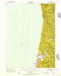
1952 · Orick
USGS Topo · 1:62,500
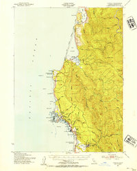
1952 · Trinidad
USGS Topo · 1:62,500

1958 · Eureka
USGS Topo · 1:250,000
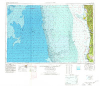
1958 · Crescent City
USGS Topo · 1:250,000
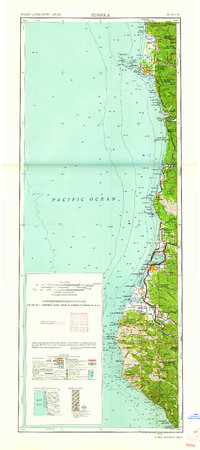
1961 · Eureka
USGS Topo · 1:250,000
1966 · Crannell
USGS Topo · 1:24,000
1966 · Orick
USGS Topo · 1:24,000