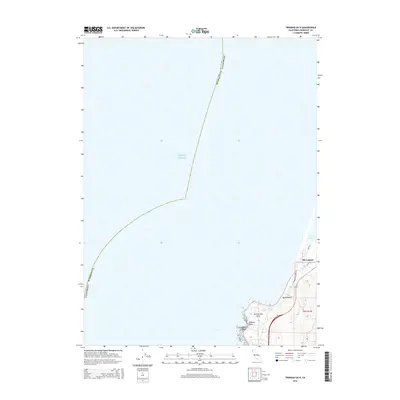
2015 Map of Trinidad OE N
USGS Topo · Published 2015About this map
Pacific Ocean swells meet the coastline of Humboldt County in this coastal survey, where the terrestrial landscape is dominated by the southern reaches of Big Lagoon. The settlement of Big Lagoon sits perched near the water's edge, connected by local routes like Lynda Ln and Park Rd. This area reflects a narrow margin of habitable land between the high coastal bluffs and the vast waters of the lagoon and ocean.
Find a feature on this map
14 named features on this map. Tap any name to fly to it.
Don’t see what you’re looking for? This feature index may not catch every label — zoom into the map to look around manually.
Map Details
Editions of this 2015 Trinidad OE N Map
This is the sole edition of this map. No revisions or reprints were ever made.
Other maps of this area

1945 · Orick
USGS Topo · 1:62,500

1945 · Trinidad
USGS Topo · 1:62,500

1949 · Eureka
USGS Topo · 1:250,000
1952 · Orick
USGS Topo · 1:62,500
1952 · Trinidad
USGS Topo · 1:62,500

1958 · Eureka
USGS Topo · 1:250,000
1958 · Crescent City
USGS Topo · 1:250,000
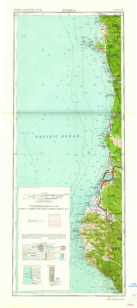
1961 · Eureka
USGS Topo · 1:250,000
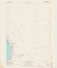
1966 · Crannell
USGS Topo · 1:24,000
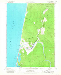
1966 · Orick
USGS Topo · 1:24,000