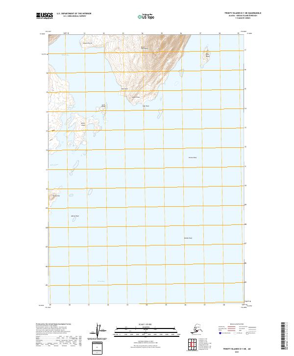
2021 Map of Trinity Islands D-1 NE
USGS Topo · Published 2021About this map
Moser Peninsula dominates the northern landscape of this coastal survey, reaching down between the waters of Moser Bay and the larger reaches of Alitak Bay. This maritime environment is defined by a complex network of islands and hazards, from the prominent Miller Island and Amik Island near the sheltered Camp Cove to the outlying Nelson Reef and Middle Reef. The terrain transitions from the heights of Moser Peninsula and the distinct Round Hill down to tidal points like Bur Point and Moser Point. The map provides an intricate look at the shoreline geometry around Little Narrows and Akhiok Bay, capturing the navigational landmarks and geographical features of this Kodiak Island region as they were recorded in 2021.
Find a feature on this map
21 named features on this map. Tap any name to fly to it.
Don’t see what you’re looking for? This feature index may not catch every label — zoom into the map to look around manually.
Map Details
Editions of this 2021 Trinity Islands D-1 NE Map
This is the sole edition of this map. No revisions or reprints were ever made.
Other maps of this area

1951 · Kaguyak
USGS Topo · 1:250,000

1951 · Trinity Islands
USGS Topo · 1:250,000

1951 · Karluk
USGS Topo · 1:250,000

1952 · Kodiak
USGS Topo · 1:250,000

1952 · Kaguyak
USGS Topo · 1:250,000

1952 · Karluk
USGS Topo · 1:250,000

1952 · Trinity Islands D-1
USGS Topo · 1:63,360

1952 · Karluk A-1
USGS Topo · 1:63,360

1952 · Kaguyak D-6
USGS Topo · 1:63,360

1952 · Kodiak A-6
USGS Topo · 1:63,360