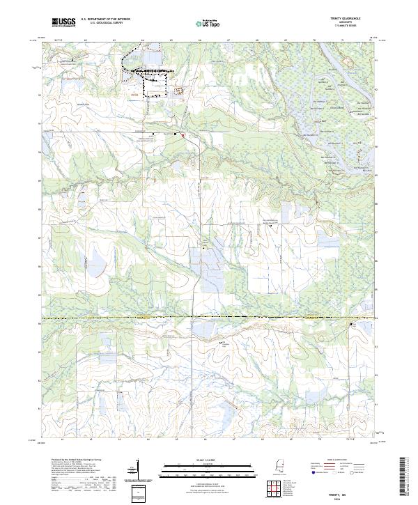
2024 Map of Trinity
USGS Topo · Published 2024This historical map portrays the area of Trinity in 2024, primarily covering Lowndes County as well as portions of Noxubee County. Featuring a scale of 1:24000, this map provides a highly detailed snapshot of the terrain, roads, buildings, counties, and historical landmarks in the Trinity region at the time. Published in 2024, it is the sole known edition of this map.
Map Details
Editions of this 2024 Trinity Map
This is the sole edition of this map. No revisions or reprints were ever made.
Historical Maps of Lowndes County Through Time
14 maps found
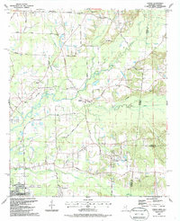
1987 Bent Oak
Lowndes County, MS
1987 Columbus North
Lowndes County, MS
1987 Columbus South
Lowndes County, MS
1987 Crawford East
Lowndes County, MS
1987 Forreston
Lowndes County, MS
1987 Steens
Lowndes County, MS
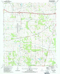
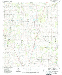
1987 Trinity
Lowndes County, MS
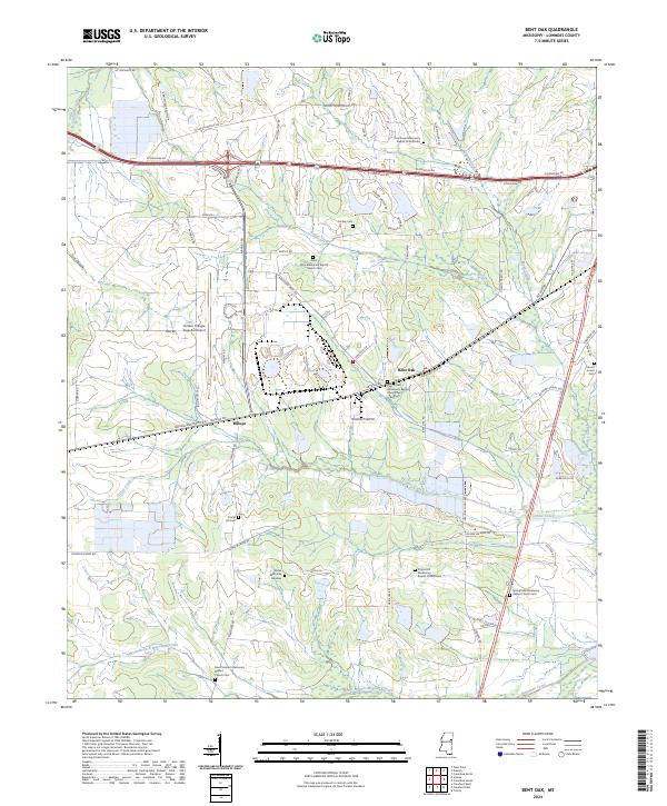
2024 Bent Oak
Lowndes County, MS
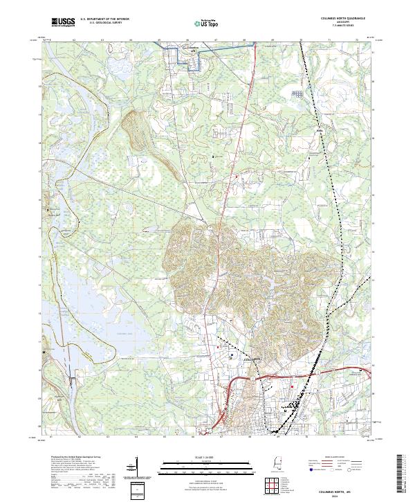
2024 Columbus North
Lowndes County, MS
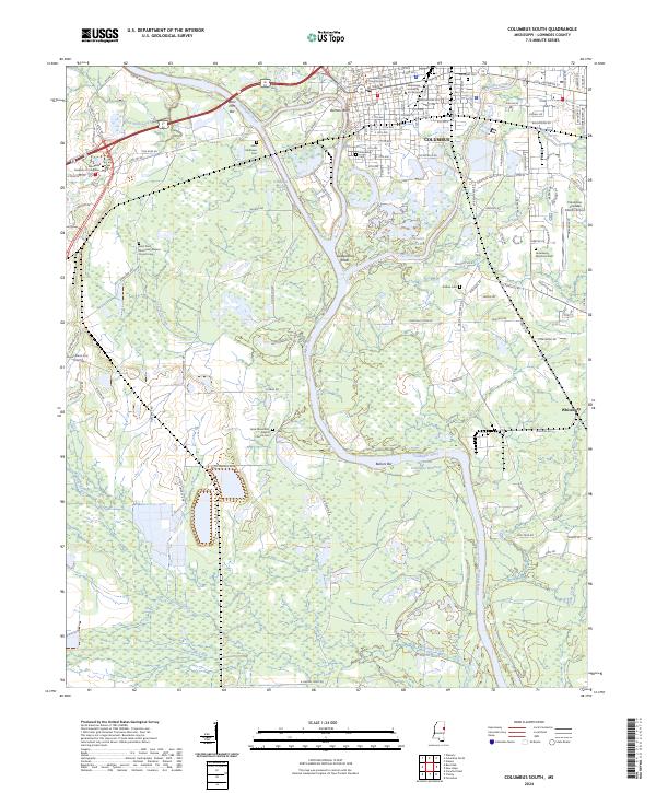
2024 Columbus South
Lowndes County, MS
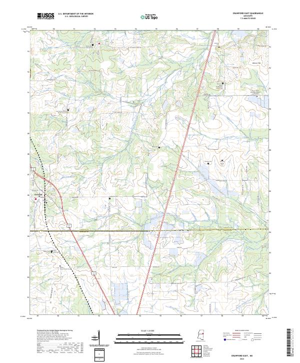
2024 Crawford East
Lowndes County, MS
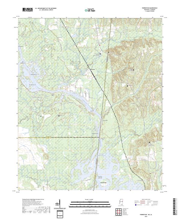
2024 Forreston
Lowndes County, MS
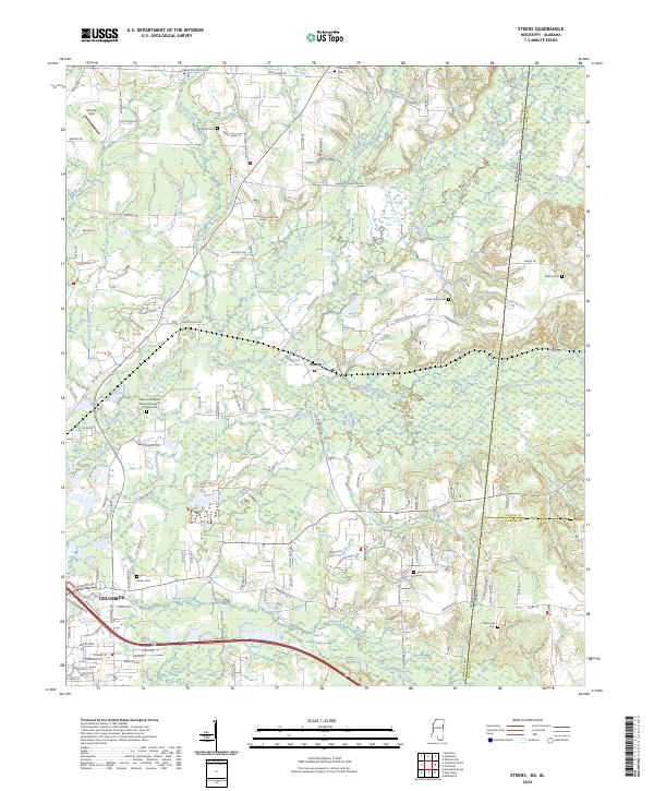
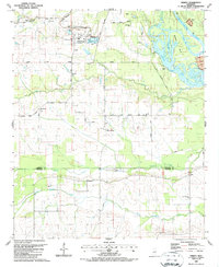
2024 Steens
Lowndes County, MS
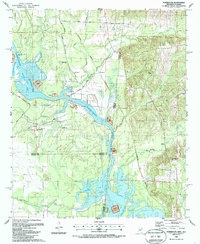
2024 Trinity
Lowndes County, MS