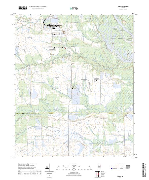
2024 Map of Trinity
USGS Topo · Published 2024About this map
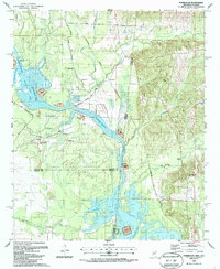
The Tennessee-Tombigbee Waterway and Tombigbee River define the eastern edge of this landscape, where the river winds through several named bends and bars, including Wildcat Bend and Hairston Bend. West of the water, the terrain transitions into a mix of creek bottoms and upland ridges settled by small communities and family enclaves. The area is notable for its numerous burial grounds and religious centers, such as the Trinity Christian Methodist Episcopal Church Cem and the Zion Hill Missionary Baptist Church Cem.
Find a feature on this map
71 named features on this map. Tap any name to fly to it.
Don’t see what you’re looking for? This feature index may not catch every label — zoom into the map to look around manually.
Map Details
Editions of this 2024 Trinity Map
This is the sole edition of this map. No revisions or reprints were ever made.
Historical Maps of Trinity Through Time
14 maps found
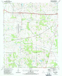
1987 Bent Oak
Lowndes County, MS
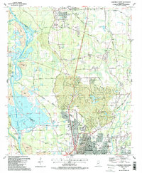
1987 Columbus North
Lowndes County, MS
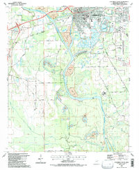
1987 Columbus South
Lowndes County, MS
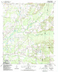
1987 Crawford East
Lowndes County, MS
1987 Forreston
Lowndes County, MS
1987 Steens
Lowndes County, MS
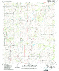
1987 Trinity
Lowndes County, MS
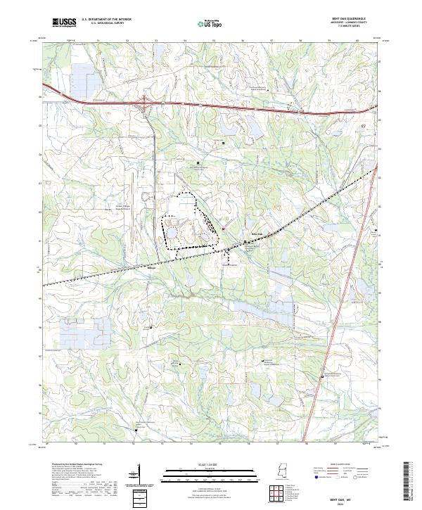
2024 Bent Oak
Lowndes County, MS
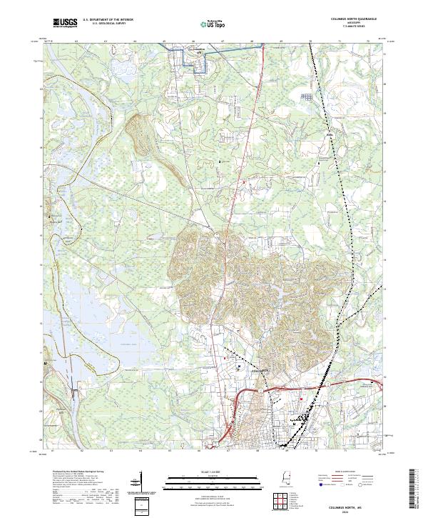
2024 Columbus North
Lowndes County, MS
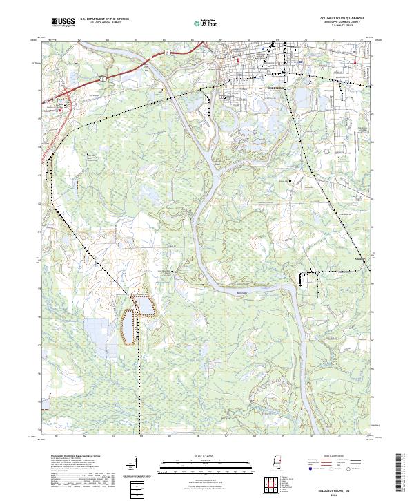
2024 Columbus South
Lowndes County, MS
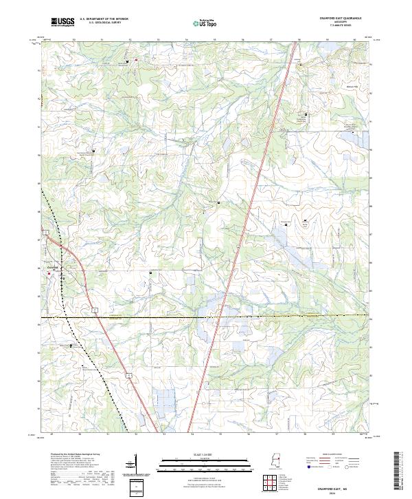
2024 Crawford East
Lowndes County, MS
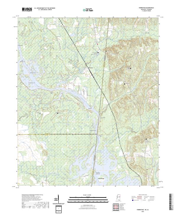
2024 Forreston
Lowndes County, MS
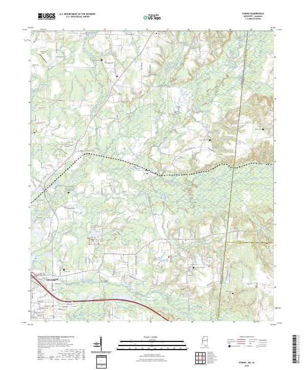
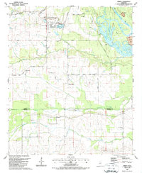
2024 Steens
Lowndes County, MS
2024 Trinity
Lowndes County, MS