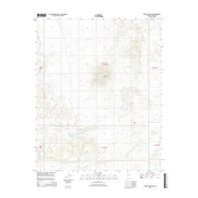
2014 Map of Trinity Mountain
USGS Topo · Published 2014About this map
Trinity Mountain stands as the central landmark of this high-altitude landscape in western Coconino County. The area is defined by a sparse but vital network of water catchment systems, essential for ranching and wildlife in this arid environment. Extensive drainages like Chino Wash wind through the terrain, flanked by notable geological formations such as Rim Rock. The mapping of numerous named reservoirs, including Horseshoe Tank, McCracken Tank, and Cinder Tank, reveals a geography focused on managing limited water resources across the plateau. This 2014 survey documents the enduring physical character of the Arizona backcountry, highlighting the intersection of named landforms and the infrastructure required to sustain life in the high desert.
Find a feature on this map
21 named features on this map. Tap any name to fly to it.
Don’t see what you’re looking for? This feature index may not catch every label — zoom into the map to look around manually.
Map Details
Editions of this 2014 Trinity Mountain Map
This is the sole edition of this map. No revisions or reprints were ever made.
Other maps of this area

1886 · Chino
USGS Topo · 1:250,000

1891 · Chino
USGS Topo · 1:250,000

1948 · Williams
USGS Topo · 1:250,000

1954 · Williams
USGS Topo · 1:250,000

1956 · Williams
USGS Topo · 1:250,000

1960 · Williams
USGS Topo · 1:250,000

1961 · Williams
USGS Topo · 1:250,000
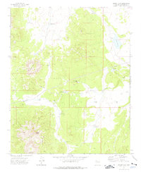
1973 · Mount Floyd
USGS Topo · 1:24,000
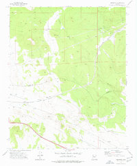
1973 · Crookton
USGS Topo · 1:24,000
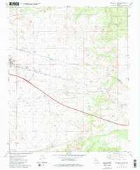
1981 · Seligman East
USGS Topo · 1:24,000