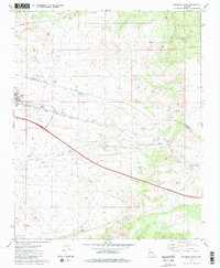
1981 Map of Seligman East
USGS Topo · Published 1981About this map
The town of Seligman serves as the focal point for this high-desert landscape in northern Arizona. Positioned along the Atchison Topeka and Santa Fe Railroad, the community shows its institutional foundations with a High Sch and Athletic Field adjacent to the tracks. The surrounding terrain is defined by a sophisticated water management system critical for both ranching and the railroad, including the Padre Reservoir, Pan Dam, and numerous named catchments such as Cedar Berry Bob Tank and Sinkhole Tank.
Find a feature on this map
27 named features on this map. Tap any name to fly to it.
Don’t see what you’re looking for? This feature index may not catch every label — zoom into the map to look around manually.
Map Details
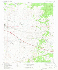
Editions of this 1981 Seligman East Map
2 editions found
Other maps of this area

1886 · Chino
USGS Topo · 1:250,000

1891 · Chino
USGS Topo · 1:250,000

1947 · Picacho Butte
USGS Topo · 1:62,500

1947 · Turkey Canyon
USGS Topo · 1:62,500

1948 · Williams
USGS Topo · 1:250,000

1948 · Picacho Butte
USGS Topo · 1:63,360

1950 · Turkey Canyon
USGS Topo · 1:62,500

1950 · Picacho Butte
USGS Topo · 1:62,500

1954 · Williams
USGS Topo · 1:250,000

1956 · Williams
USGS Topo · 1:250,000