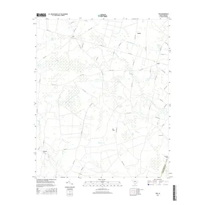
2017 Map of Trio
USGS Topo · Published 2017About this map
The Lowcountry landscape of Williamsburg County is defined by an intricate network of Carolina bays and swamps, as seen in this 2017 survey of the rural community of Trio. These elliptical depressions, including Ricefield Bay, Oak Ridge Bay, and Cedar Creek Bay, dominate the terrain, often separated by sandy elevations like Big Ridge. The drainage of these wetlands is managed by several named water bodies such as Spring Valley Swamp and Murray Swamp, which historically influenced the settlement patterns and road placements for the residents of Tisdale and Earle.
Find a feature on this map
66 named features on this map. Tap any name to fly to it.
Don’t see what you’re looking for? This feature index may not catch every label — zoom into the map to look around manually.
Map Details
Editions of this 2017 Trio Map
This is the sole edition of this map. No revisions or reprints were ever made.
Other maps of this area

1942 · Cedar Creek
USGS Topo · 1:24,000

1943 · Trio
USGS Topo · 1:24,000

1943 · Andrews
USGS Topo · 1:24,000

1943 · Jamestown
USGS Topo · 1:24,000

1943 · Bonneau
USGS Topo · 1:62,500

1946 · Kingstree
USGS Topo · 1:62,500

1946 · Indiantown
USGS Topo · 1:62,500

1949 · Georgetown
USGS Topo · 1:250,000

1967 · Georgetown
USGS Topo · 1:250,000

1974 · Georgetown
USGS Topo · 1:250,000