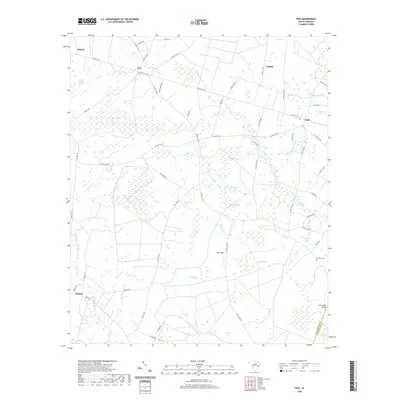
2020 Map of Trio
USGS Topo · Published 2020About this map
Trio and its surrounding lowlands define this corner of Williamsburg County, where the landscape transitions into a complex network of bays and Carolina bays. The terrain is characterized by distinctive elliptical depressions like Wittee Bay, Ricefield Bay, and Alligator Bay, which alternate with drier elevations such as Big Ridge and Cross Bay Ridge. Small, dispersed settlements like Earle, Tisdale, and Blakely are connected by a grid of county roads, reflecting a community deeply tied to the drainage patterns of Murray Swamp and Spring Valley Swamp. Local history and genealogy are anchored by landmarks like the Bird Pond Cem and several private ponds, including Ackerman Pond and Sportsman Pond. This map details a rural South Carolina environment where the boundary with Georgetown County follows the winding course of Johnsons Swamp.
Find a feature on this map
66 named features on this map. Tap any name to fly to it.
Don’t see what you’re looking for? This feature index may not catch every label — zoom into the map to look around manually.
Map Details
Editions of this 2020 Trio Map
This is the sole edition of this map. No revisions or reprints were ever made.
Other maps of this area

1942 · Cedar Creek
USGS Topo · 1:24,000

1943 · Trio
USGS Topo · 1:24,000

1943 · Andrews
USGS Topo · 1:24,000

1943 · Jamestown
USGS Topo · 1:24,000

1943 · Bonneau
USGS Topo · 1:62,500

1946 · Kingstree
USGS Topo · 1:62,500

1946 · Indiantown
USGS Topo · 1:62,500

1949 · Georgetown
USGS Topo · 1:250,000

1967 · Georgetown
USGS Topo · 1:250,000

1974 · Georgetown
USGS Topo · 1:250,000