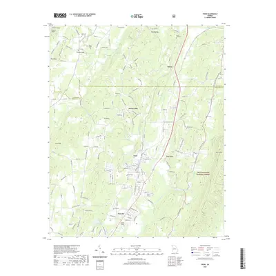
2020 Map of Trion
USGS Topo · Published 2020About this map
The Chattooga River winds through the heart of this North Georgia valley, anchoring the industrial and residential development of Trion and East Trion. This survey documents a landscape where agricultural history and textile industry roots meet, with the river serving as a primary geographic axis. To the north, the transition from the Walker Co and Chattooga Co boundary reveals a series of historic family and community burial grounds, including the Paynes Chapel Cem and Wesley Chapel Cem, which offer significant genealogical data points for the region.
Find a feature on this map
168 named features on this map. Tap any name to fly to it.
Don’t see what you’re looking for? This feature index may not catch every label — zoom into the map to look around manually.
Map Details
Editions of this 2020 Trion Map
This is the sole edition of this map. No revisions or reprints were ever made.
Other maps of this area

1886 · Ringgold
USGS Topo · 1:125,000

1886 · Rome
USGS Topo · 1:125,000

1892 · Ringgold
USGS Topo · 1:125,000

1898 · Rome
USGS Topo · 1:125,000

1899 · Rome
USGS Topo · 1:125,000

1904 · Rome
USGS Topo · 1:125,000

1935 · Catlett
USGS Topo · 1:24,000

1936 · Estelle
USGS Topo · 1:24,000

1936 · Dougherty Gap
USGS Topo · 1:24,000
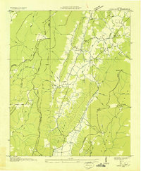
1936 · Cedar Grove
USGS Topo · 1:24,000