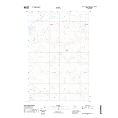
2020 Map of Triple Crossing Reservoir East
USGS Topo · Published 2020About this map
Water management dominates this portion of Valley County, where a network of small reservoirs and drainages define the landscape. Twin Forks Reservoir and Willow Bunch Reservoir sit in the northern reaches, while Triple Crossing Reservoir and Whitetail Reservoir occupy the western breaks. The drainage patterns of Lone Tree Creek and its southern fork carve through the high plains, eventually giving way to the erosive features of White Rock Coulee and Corral Coulee.
Find a feature on this map
22 named features on this map. Tap any name to fly to it.
Don’t see what you’re looking for? This feature index may not catch every label — zoom into the map to look around manually.
Map Details
Editions of this 2020 Triple Crossing Reservoir East Map
This is the sole edition of this map. No revisions or reprints were ever made.
Other maps of this area

1943 · Glasgow
USGS Topo · 1:125,000

1954 · Jordan
USGS Topo · 1:250,000

1954 · Glasgow
USGS Topo · 1:250,000

1956 · Jordan
USGS Topo · 1:250,000

1957 · Glasgow
USGS Topo · 1:250,000

1958 · Glasgow
USGS Topo · 1:250,000

1958 · Jordan
USGS Topo · 1:250,000

1958 · Miller Coulee
USGS Topo · 1:62,500

1958 · Collins Ranch
USGS Topo · 1:62,500

1964 · Jordan
USGS Topo · 1:250,000