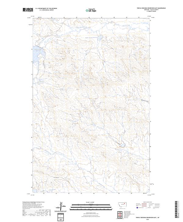
2024 Map of Triple Crossing Reservoir East
USGS Topo · Published 2024About this map
Lone Tree Creek and its many tributaries, including the South Fork Lone Tree Creek, define this portion of Valley County. The drainage network is heavily managed by a series of small-scale impoundments typical of Montana’s rangeland, such as Triple Crossing Reservoir, Double Crossing Reservoir, and Willow Bunch Reservoir. These features suggest a landscape centered on water management and livestock grazing, where every major drainage has been utilized for water storage.
Find a feature on this map
18 named features on this map. Tap any name to fly to it.
Don’t see what you’re looking for? This feature index may not catch every label — zoom into the map to look around manually.
Map Details
Editions of this 2024 Triple Crossing Reservoir East Map
This is the sole edition of this map. No revisions or reprints were ever made.
Other maps of this area

1943 · Glasgow
USGS Topo · 1:125,000

1954 · Jordan
USGS Topo · 1:250,000

1954 · Glasgow
USGS Topo · 1:250,000

1956 · Jordan
USGS Topo · 1:250,000

1957 · Glasgow
USGS Topo · 1:250,000

1958 · Glasgow
USGS Topo · 1:250,000

1958 · Jordan
USGS Topo · 1:250,000

1958 · Miller Coulee
USGS Topo · 1:62,500

1958 · Collins Ranch
USGS Topo · 1:62,500

1964 · Jordan
USGS Topo · 1:250,000