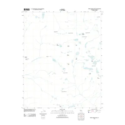
2012 Map of Triple Divide Peak
USGS Topo · Published 2012About this map
Triple Divide Peak serves as the hydrological centerpiece of this high-altitude landscape, marking the point where the Kings-Kaweah Divide meets the headwaters of the Kern-Kaweah River. The 2012 topography reveals a terrain of extreme verticality, defined by glacier-carved features such as the Lilliput Glacier and the expansive Nine Lake Basin. Human activity in this wilderness area is marked by the Bearpaw Meadow High Sierra Camp and the remote outpost of Valhalla, sites that have historically supported backcountry travelers and surveyors. High-mountain passes, including Elizabeth Pass, Copper Mine Pass, and Kaweah Gap, dictate the logic of movement across the granite ridges. Water systems are intricate, with Hamilton Lakes and Precipice Lake feeding into the Middle Fork Kaweah River, while the Big Arroyo drains the southern slopes toward Little Five Lakes.
Find a feature on this map
38 named features on this map. Tap any name to fly to it.
Don’t see what you’re looking for? This feature index may not catch every label — zoom into the map to look around manually.
Map Details
Editions of this 2012 Triple Divide Peak Map
This is the sole edition of this map. No revisions or reprints were ever made.
Other maps of this area

1903 · Tehipite
USGS Topo · 1:125,000

1904 · Kaweah
USGS Topo · 1:125,000

1905 · Tehipite
USGS Topo · 1:125,000

1905 · Olancha
USGS Topo · 1:125,000

1907 · Olancha
USGS Topo · 1:125,000

1907 · Mt. Whitney
USGS Topo · 1:125,000

1909 · Kaweah
USGS Topo · 1:125,000

1919 · Mt. Whitney
USGS Topo · 1:125,000

1937 · Mt. Whitney
USGS Topo · 1:125,000

1937 · Kaweah
USGS Topo · 1:125,000