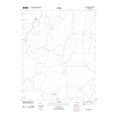
2010 Map of Triple Springs
USGS Topo · Published 2010About this map
Triple Springs and Catilina anchor this northern Person County landscape, where the headwaters of the Tar River begin their southeastward flow. The map documents a rural transition zone defined by numerous small watercourses like Shelton Creek and Aarons Creek that drain the timbered and agricultural tracts. Evidence of local industry and community life is found at the Durgy Mine and the Olive Branch Cemetery, situated near the network of roads named for resident families, such as Hal Melton Rd and J D Denny Rd.
Find a feature on this map
59 named features on this map. Tap any name to fly to it.
Don’t see what you’re looking for? This feature index may not catch every label — zoom into the map to look around manually.
Map Details
Editions of this 2010 Triple Springs Map
This is the sole edition of this map. No revisions or reprints were ever made.
Other maps of this area

1941 · Clarksville
USGS Topo · 1:48,000

1943 · Clarksville
USGS Topo · 1:62,500

1943 · Roxboro
USGS Topo · 1:62,500

1953 · Oxford
USGS Topo · 1:62,500

1953 · South Boston
USGS Topo · 1:62,500

1953 · Greensboro
USGS Topo · 1:250,000

1954 · Greensboro
USGS Topo · 1:250,000

1957 · South Boston
USGS Topo · 1:62,500

1957 · Clarksville
USGS Topo · 1:62,500

1962 · Greensboro
USGS Topo · 1:250,000