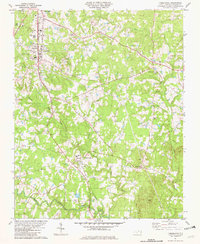
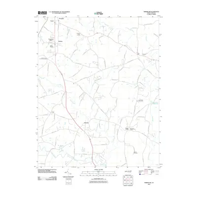
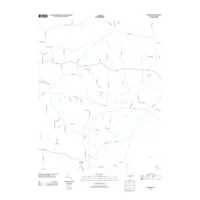
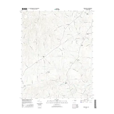
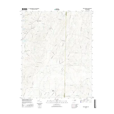
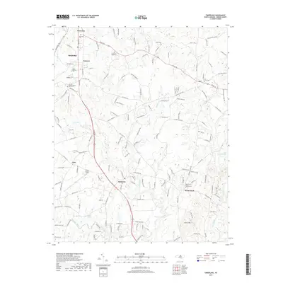
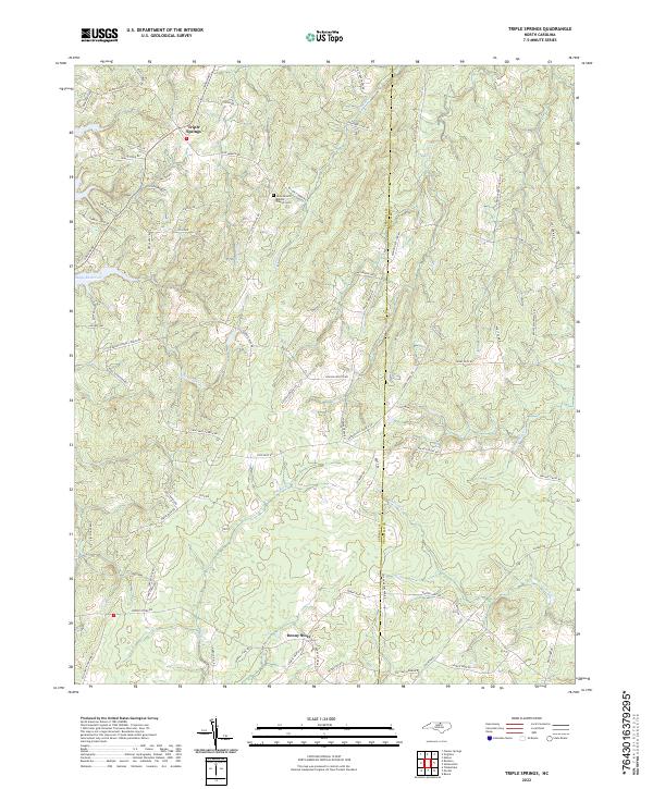
1980 Map of Triple Springs
USGS Topo · Published 1981About this map
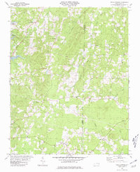
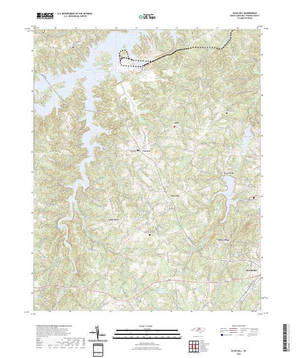
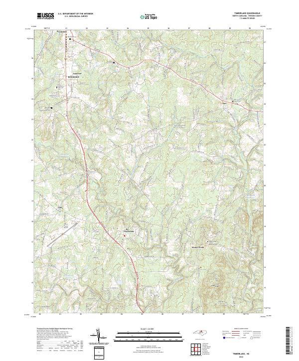
The rolling hills of the North Carolina Piedmont are captured here in the late 1970s, defined by the winding boundary between Person and Granville Counties. This rural landscape is anchored by the community of Triple Springs and the waters of Mayo Reservoir, which dominates the northwestern corner of the quadrangle. Local life is centered around a network of country roads and spiritual landmarks such as Olive Branch Ch, St Pauls Ch, and Mt Gideon Ch. Small crossroads and quiet settlements like Denny Store, Goshen, and Sharon illustrate the enduring agrarian character of the region. The terrain is deeply carved by a series of south-flowing streams, including Big Bluewing Creek, Crooked Fork, and Aarons Creek, which create a complex system of ridges and valleys typical of this part of the state.
Find a feature on this map
16 named features on this map. Tap any name to fly to it.
Don’t see what you’re looking for? This feature index may not catch every label — zoom into the map to look around manually.
Map Details
Editions of this 1980 Triple Springs Map
This is the sole edition of this map. No revisions or reprints were ever made.
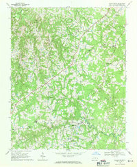
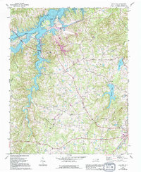
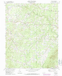
Historical Maps of Triple Springs Through Time
31 maps found
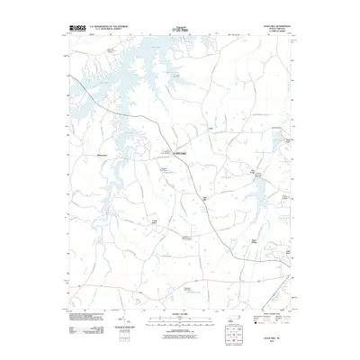
1968 Hurdle Mills
Person County, NC
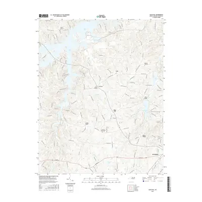
1968 Olive Hill
Person County, NC
1980 Triple Springs
Person County, NC
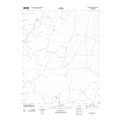
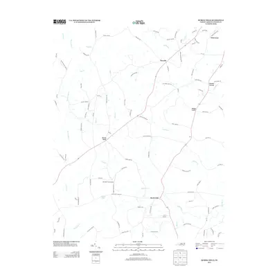
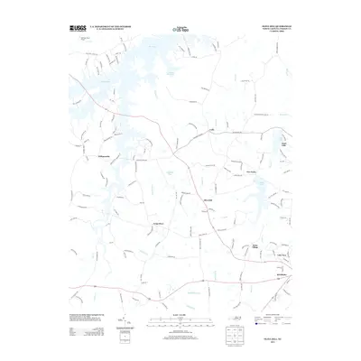
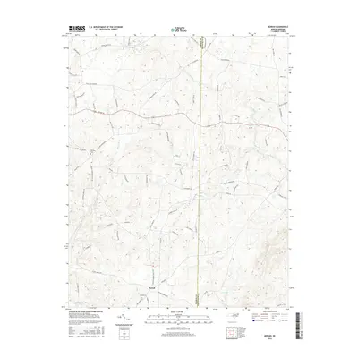
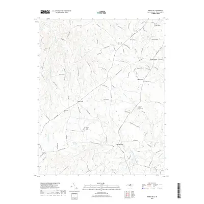
1981 Moriah
Person County, NC
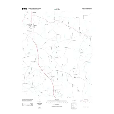
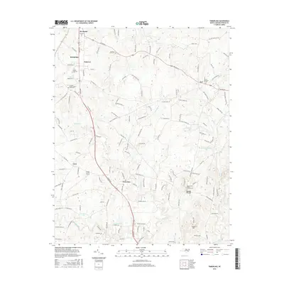
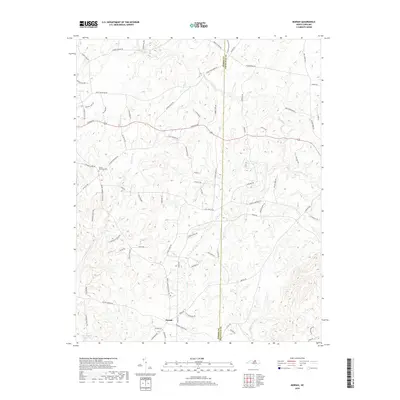
1981 Timberlake
Person County, NC
1997 Hurdle Mills
Person County, NC
2010 Hurdle Mills
Person County, NC
2010 Moriah
Person County, NC
2010 Timberlake
Person County, NC
2010 Triple Springs
Person County, NC
2011 Olive Hill
Person County, NC
2013 Hurdle Mills
Person County, NC
2013 Moriah
Person County, NC
2013 Olive Hill
Person County, NC
2013 Timberlake
Person County, NC
2013 Triple Springs
Person County, NC
2016 Hurdle Mills
Person County, NC
2016 Moriah
Person County, NC
2016 Olive Hill
Person County, NC
2016 Timberlake
Person County, NC
2016 Triple Springs
Person County, NC
2019 Hurdle Mills
Person County, NC
2019 Moriah
Person County, NC
2019 Olive Hill
Person County, NC
2019 Timberlake
Person County, NC
2019 Triple Springs
Person County, NC
2022 Hurdle Mills
Person County, NC
2022 Moriah
Person County, NC
2022 Olive Hill
Person County, NC
2022 Timberlake
Person County, NC
2022 Triple Springs
Person County, NC