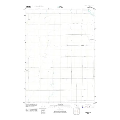
2010 Map of Tripoli NW
USGS Topo · Published 2010About this map
Republic sits at the heart of this Chickasaw County landscape, where a rigid grid of rural roads like Fayette Ave and 280th St defines the agricultural pattern of the region. This survey captures the rural character of the area just before the turn of the decade, anchored by several sites of genealogical importance. Richland Township Cemetery and the Cagley Cemetery provide vital points of reference for local family history, while the Pearl Rock Catholic Cemetery serves the community to the southwest.
Find a feature on this map
34 named features on this map. Tap any name to fly to it.
Don’t see what you’re looking for? This feature index may not catch every label — zoom into the map to look around manually.
Map Details
Editions of this 2010 Tripoli NW Map
This is the sole edition of this map. No revisions or reprints were ever made.
Other maps of this area

1954 · Mason City
USGS Topo · 1:250,000

1954 · Waterloo
USGS Topo · 1:250,000

1955 · Waterloo
USGS Topo · 1:250,000

1957 · Mason City
USGS Topo · 1:250,000

1958 · Mason City
USGS Topo · 1:250,000

1971 · Bremer
USGS Topo · 1:24,000

1971 · Tripoli NW
USGS Topo · 1:24,000

1971 · Plainfield
USGS Topo · 1:24,000

1971 · Frederika
USGS Topo · 1:24,000

1971 · Bassett
USGS Topo · 1:24,000